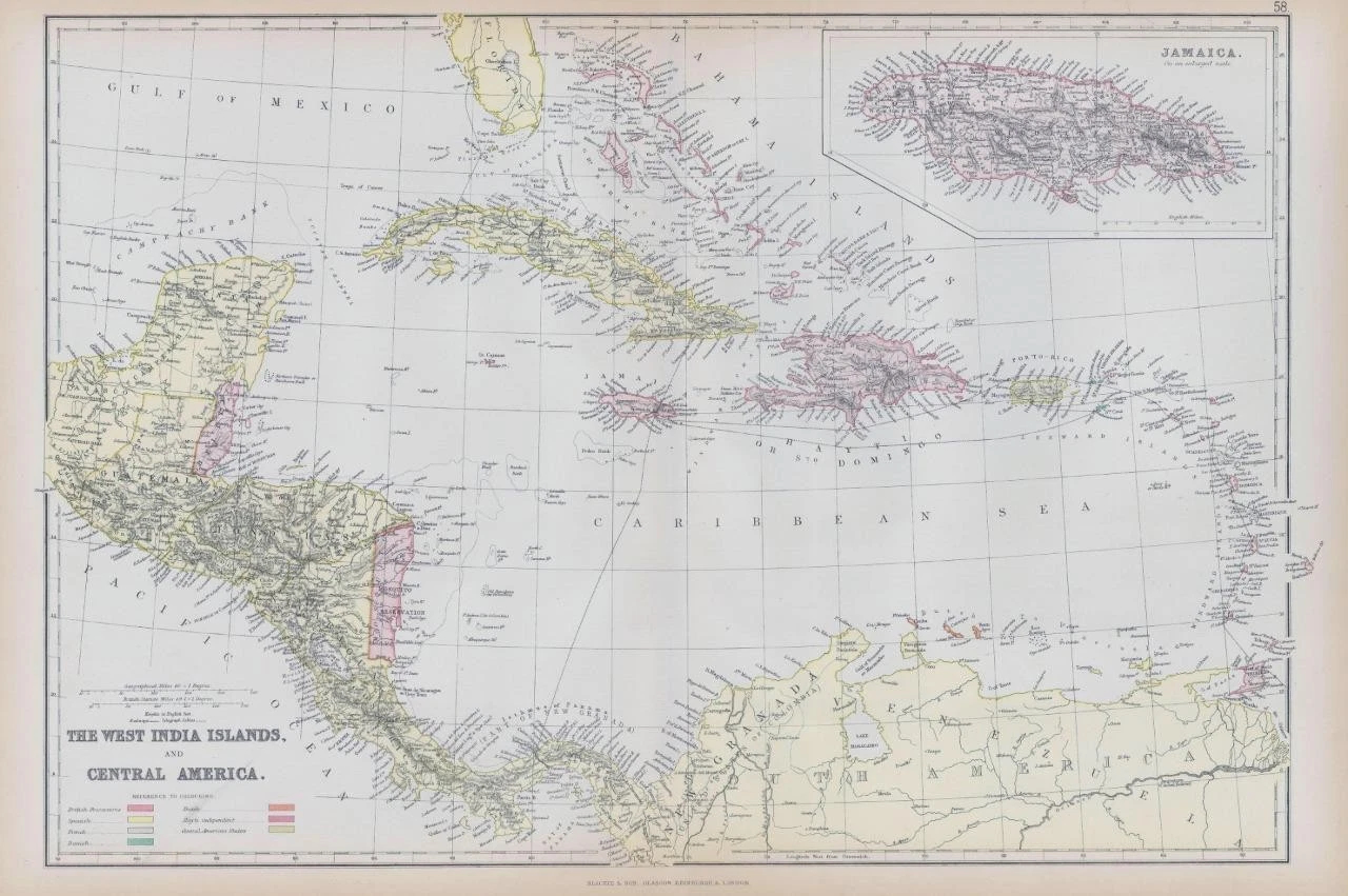
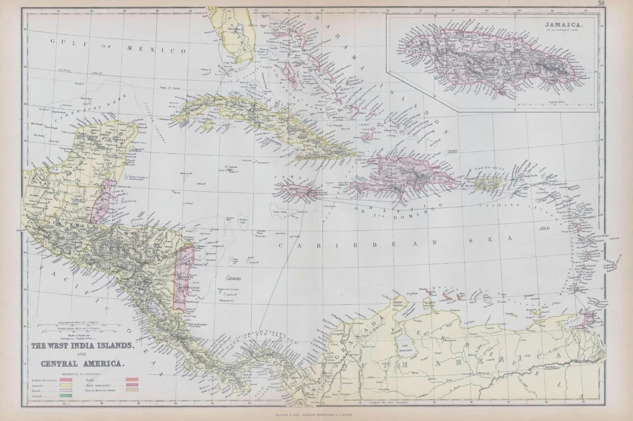
1882 - Very large original Antique Map titled: "THE WEST INDIA ISLANDS AND CENTRAL AMERICA
(Jamaica on an enlarged scale)"
Provenance: Taken from ' The Comprehensive Atlas & Geography of The World' by W G Blackie & published by Blackie & Son, Old Bailey EC, Glasgow, Edinburgh & Dublin 1882.
Good condition overall with central fold as issued.
Some light age toning in the margins.
Size approximately 56cm x 38cm (22in x 15in) including margins.
£38.00