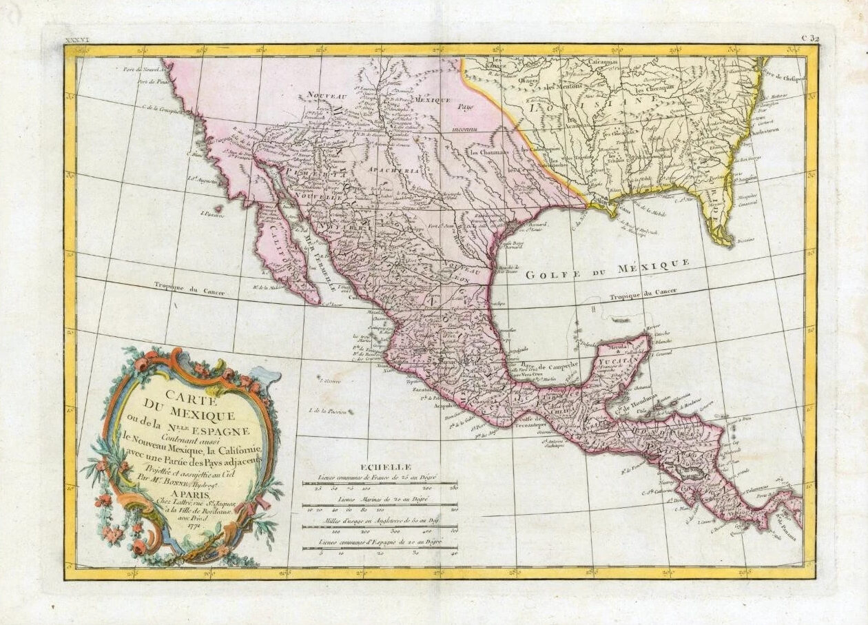
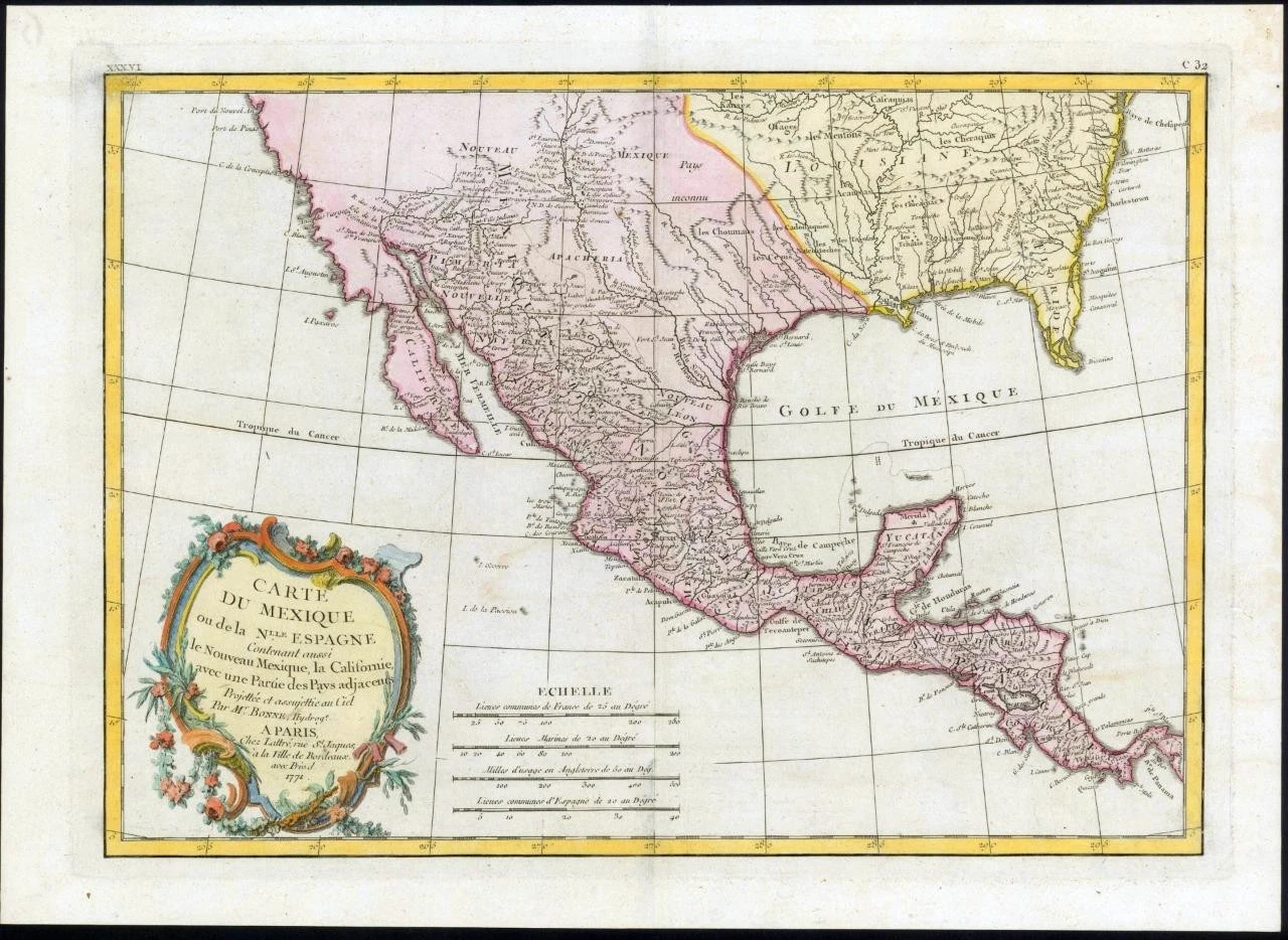
1771 - A fine and very rare original antique pair of maps titled: ' CARTE DU MEXIQUE ou de la Nlle ESPAGNE Contenant aussi le Nouveau Mexique, la Californie avec une Partie des Pays adjacents '
A highly detailed and decorative map of Mexico and Florida. The map depicts depicts the region from Baja Calofirnia eastward to Florida and Caroline, and from the northwards mouth of the Chesapeake Bay to Panama. Bonne, being a very caution cartographer, abandons many of the fictitious elements common to many period maps of this region, thus most unexplored areas are left blank. Being primarily a map of Mexico and the Spanish holdings of North America, this map details the various Mexican states naming countless towns, villages and haciendas. North of Spanish Mexico lies the vast and largely unknown American West, where numerous missionary stations along the Rio Bravo or Rivera du Nord (Rio Grande) are identified, extending well north into New Mexico towards Santa Fe. Several American Indian groups who traded with the French in Louisiana are also included.
Overall size of each map is 48cm x 35cm with large margins, perfect for mounting and framing.
CONDITION: Excellent overall condition with hand colouring and the centrefold, as issued.
Blank on verso.
£330.00