
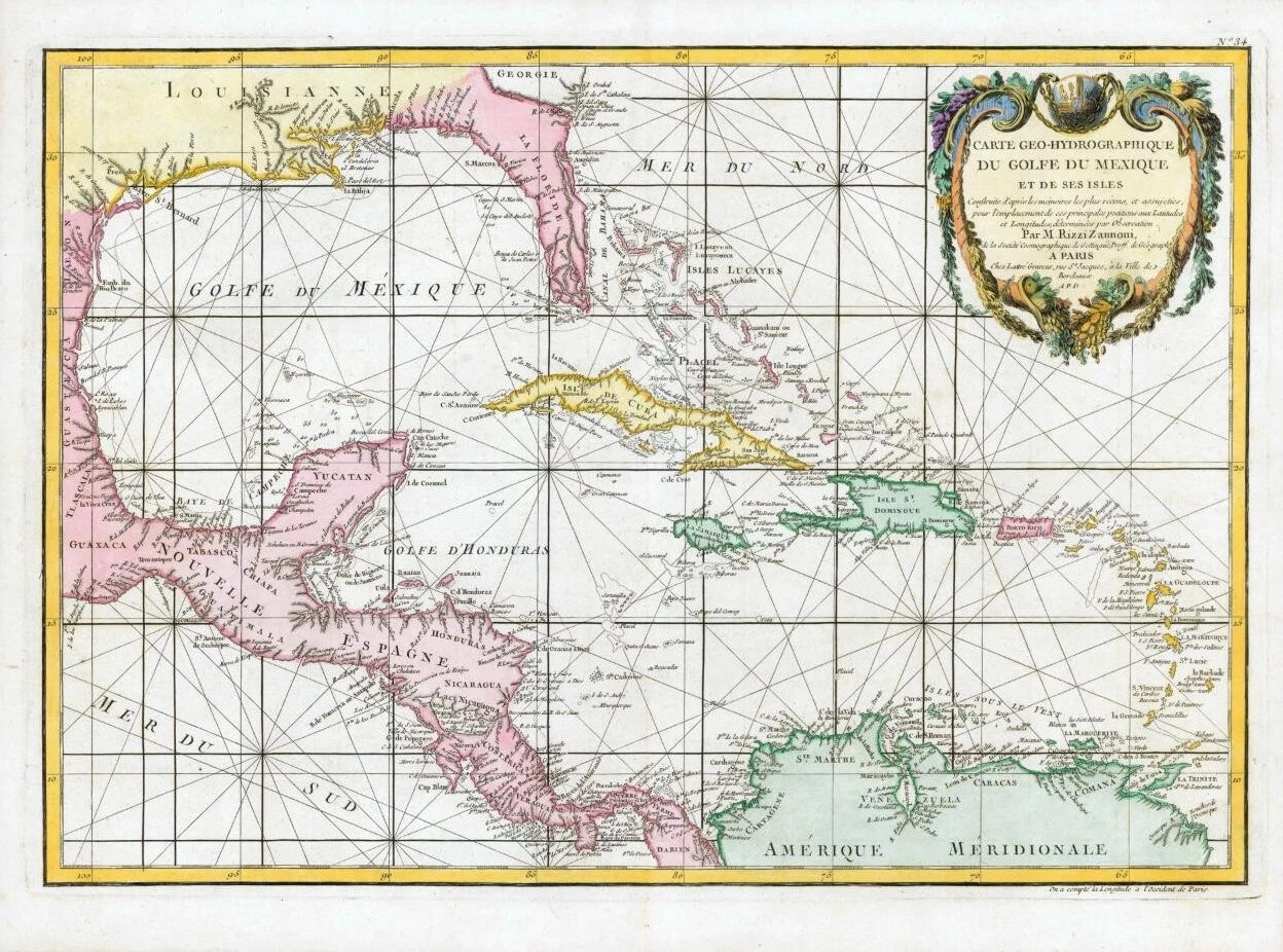
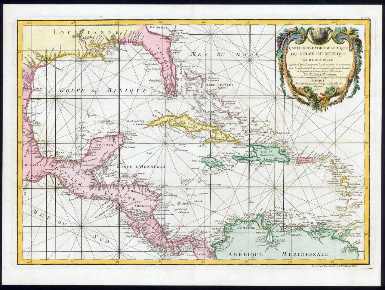
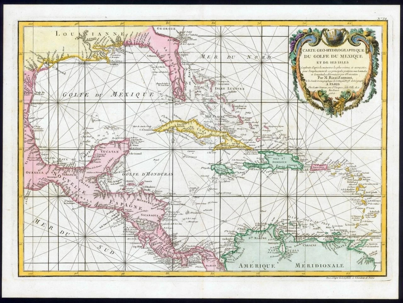
1782 - A fine and very rare original antique map titled: ' Carte Geo-Hydrographique du Golfe du Mezique et de ses Isles '
A highly detailed and decorative map of the West Indies, Florida and Central America from the Gulf of Mexico to the Lesser Antilles including all of the West Indies, Florida and Central America with parts of Louisiana, Mexico and northern South America. In essence a nautical charge, this map has little inland details and is crisscrossed with both rumb lines and lines of latitude and longitude. Coast cities, rivers and ports are named throughout and also shows numerous shoals, reefs and other offshore dangers. Southern Florida is rendered as an archipelago in a primitive attempt to describe the everglades.
Overall size of map is 48cm x 35cm with large margins, perfect for mounting and framing.
CONDITION: Excellent overall condition with hand colouring and the centrefold, as issued.
Blank on verso.
£330.00


