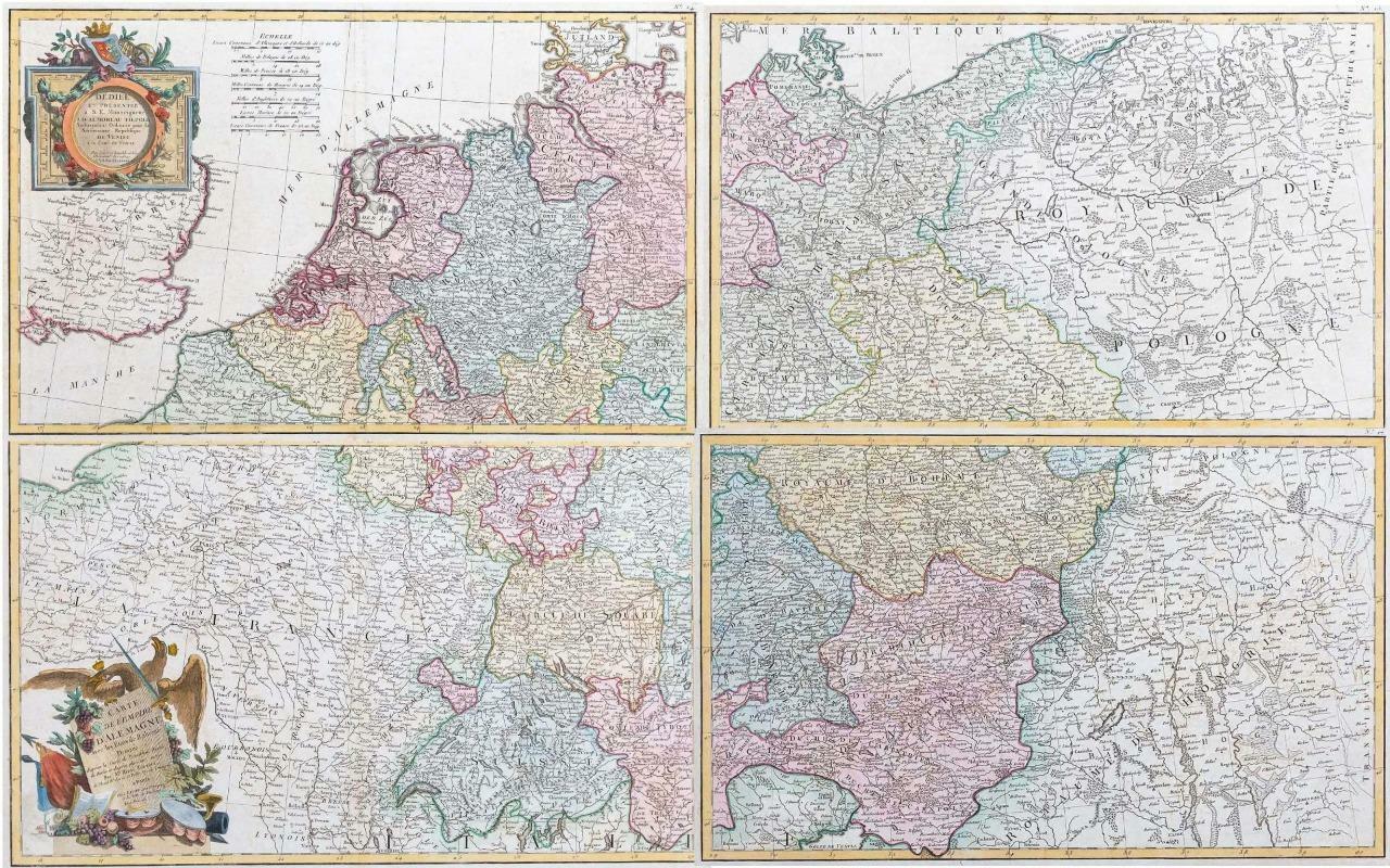
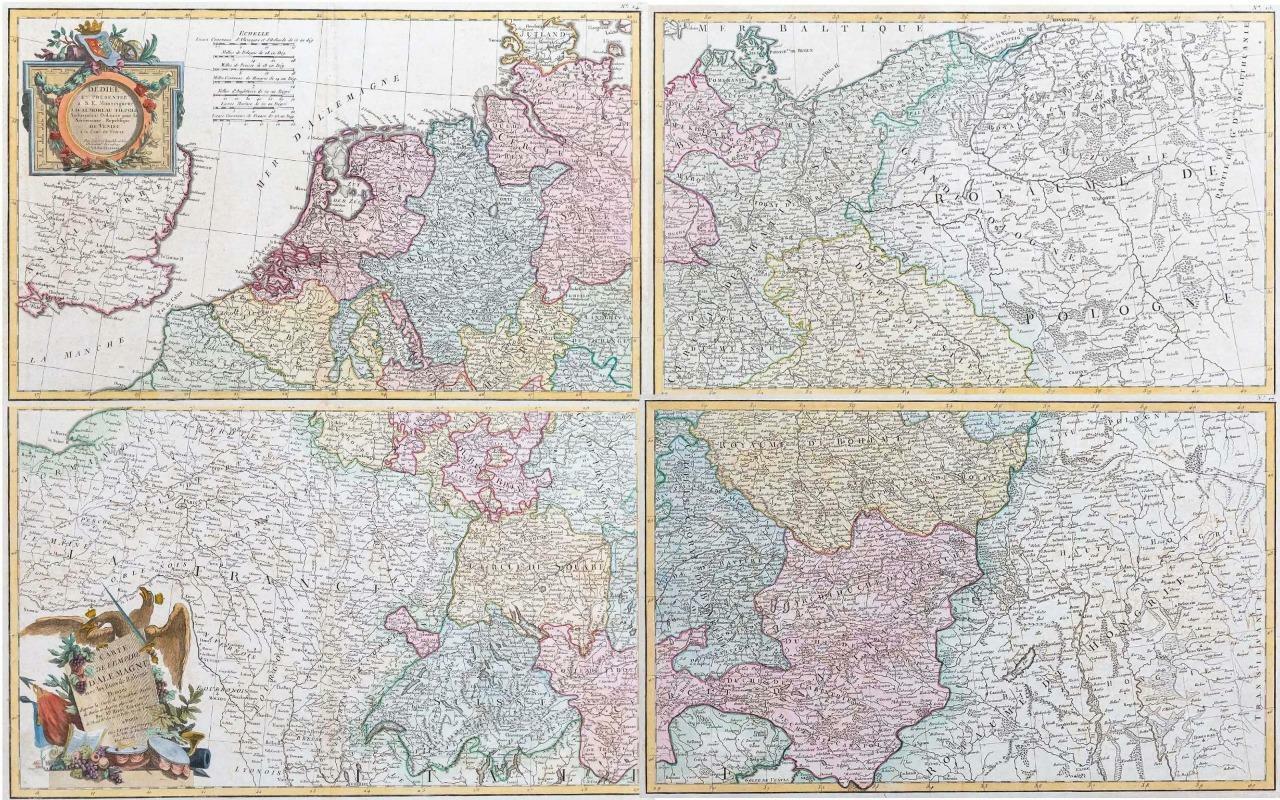
1783 - A rare complete example of Four maps titled: ' Carte de L'Empire D'ALEMAGNE avec les Etats de Boheme '
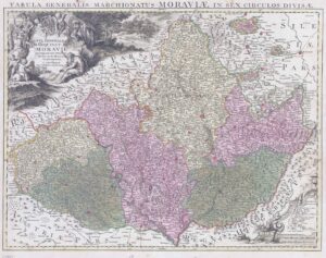
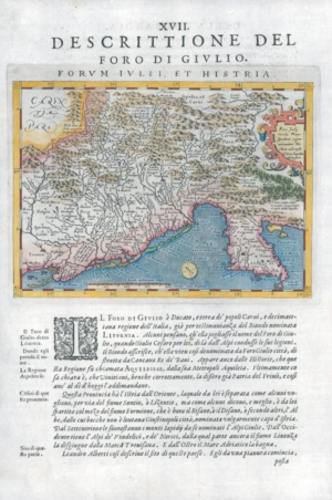
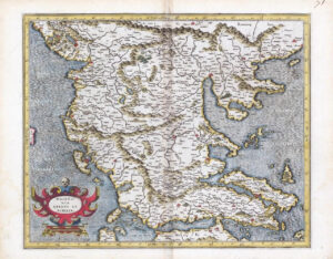
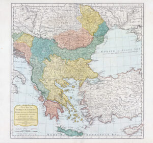
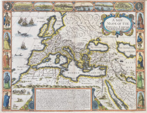
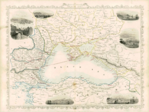
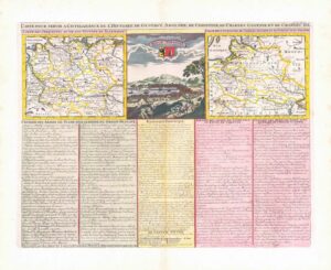
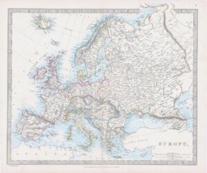
A rare complete example of Rizzi-Zannoni's 1783 decorative four panel map of the German empire and Poland. Rizzi- Zannoni's map covers from Jutland to the gulf of Venice and from England to Poland. The maps offer excellent detail throughout showing mountains, rivers, forests, national & regional boundaries, forts and cities. A large decorative title cartouche depicting the Imperial Eagle appears in the lower left. The upper left map shows a secondary cartouche and dedication. The four maps would make a dramatic show piece and framed and presented as a four part whole.
Overall size of each map is 48cm x 35cm with large margins, perfect for mounting and framing.
CONDITION: Excellent overall condition with hand colouring and the centrefold, as issued with some age toning.
Blank on verso.
£475.00