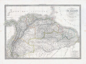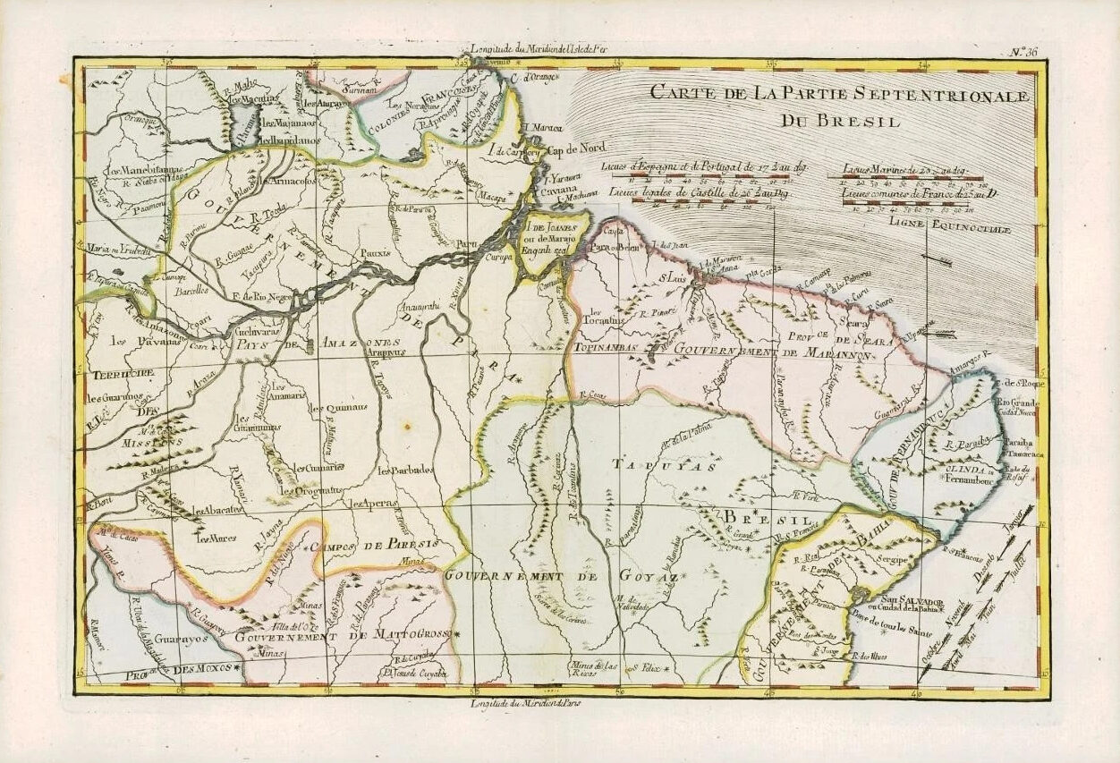
1780 - An original Antique Map by Rigobert Bonne & Guillaume Thomas Raynal titled: 'CARTE DE LA PARTIE SEPTENTRIONALE DU BRESIL'
A fine example of Rigobert Bonne and Guilleme Raynal's 1780 map of Northern Brazil. This detailed map features the northern portion of Brazil from Bahia to Guyana. This also includes a portion of the Amazon River and its adjancet rainforest, the largest and most species-rich tract of forest in the world. Of note is the legendary Lake Parime in the northwest. It was on the shores of this lake that many explorers believed they could find the city of Manoa, or El Dorado. Explorers such as Sir Walter Raleigh searched this area in a vain attempt locate the lake and legendary City of Gold. The map also includes the eastern Amazon interior rivers, Mission Territories, Goyza and the coastal regions, with coastal currents noted.
Overall size of map is 37cm x 25cm with large margins, perfect for mounting and framing.
CONDITION: Excellent overall condition with hand colouring and the usual centrefold, as issued. Blank on verso.
PROVENANCE: Drawn by R.Bonne for G.Raynal's "ATLAS DE TOUTES LES PARTIES CONNUES DU GLOBE TERRESTRE, DRESSE POUR l'HISTOIRE PHILOSOPHIQUE ET POLITIQUE DES ETABLISSEMENTS ET DU COMMERCE DES EUROPEENS DANS LES DEUX INDES"
£65.00