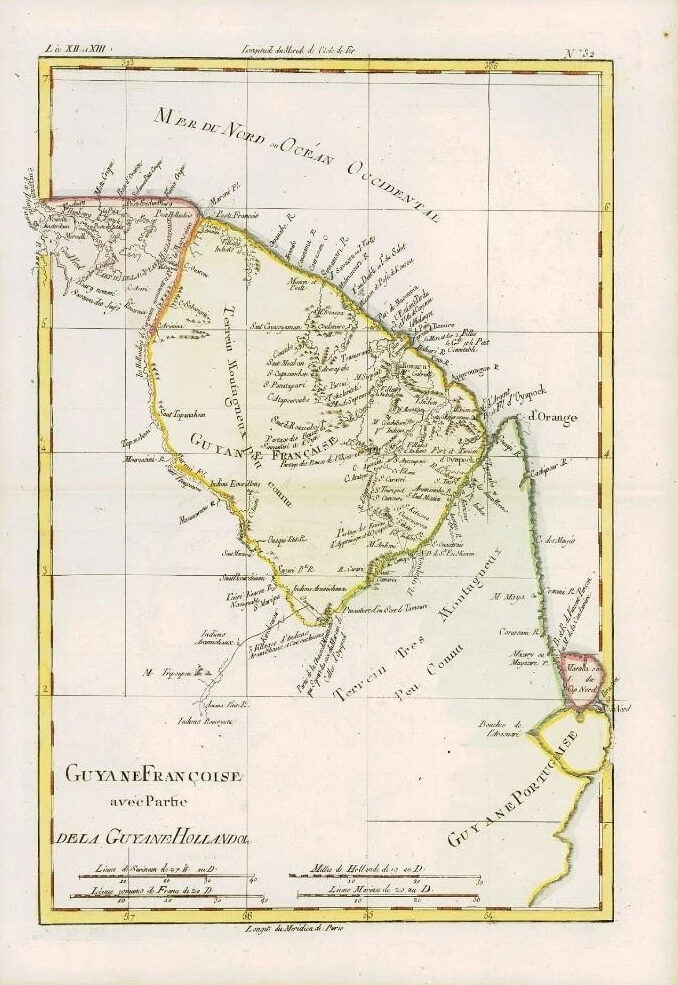
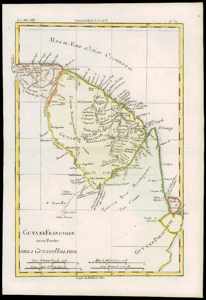
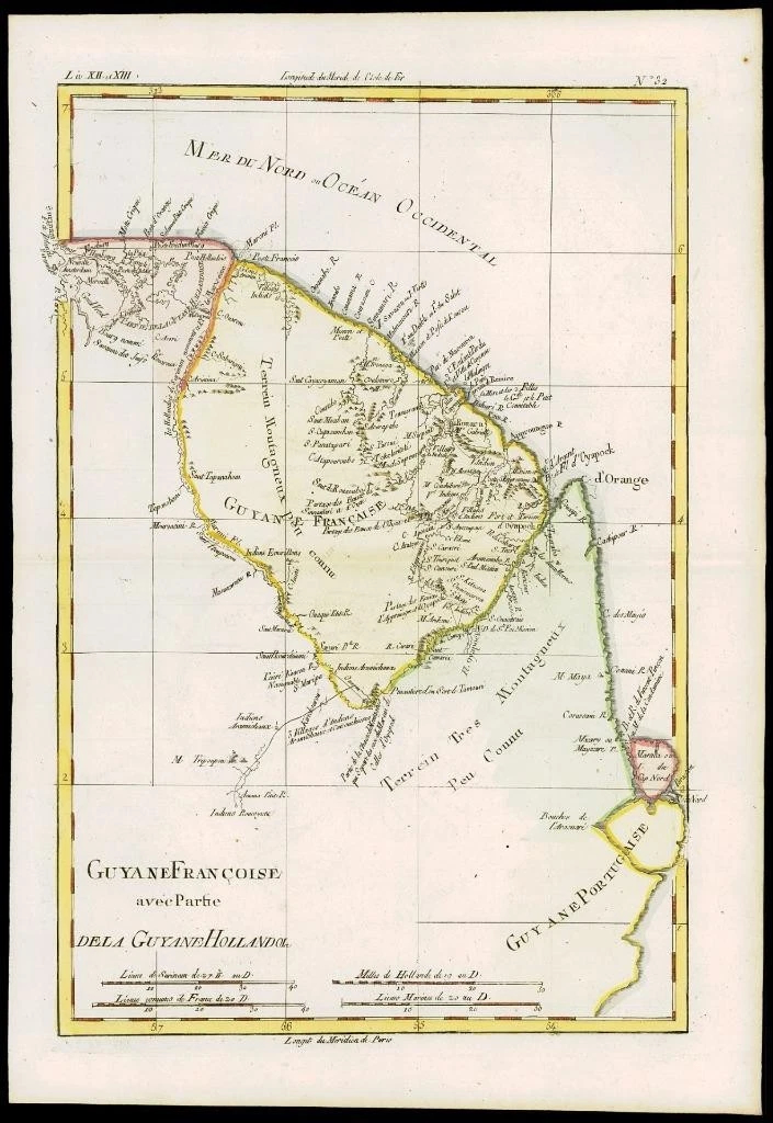
1780 - An original Antique Map by Rigobert Bonne & Guillaume Thomas Raynal titled: 'GUYANE FRANCOISE AVEC PARTIE DE LA GUYANE HOLLANDOISE'
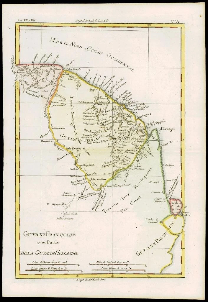
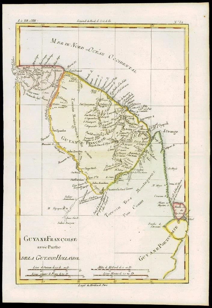
A fine example of Rigobert Bonne and Guilleme Raynal's 1780 map of northeastern South America, depicting Guyana (Guyane). Covers parts of British Guyana, Dutch Surinam in the north, French Guyana (Guyane), modern day Mayapa, a Brazilian state, and Cap de Nord in the south. Most of the data for this map is drawn from records compiled under the Dutch West India Company, which traded throughout the region. While inland information is minimal, trading settlements and missions along both the Maroni River and the Tammouri are noted. Names numerous American Indian tribes and villages throughout. Additionally names Fort Oyapoque, modern day Oiapoque, and major cities, such as Paramibo, the present day capital of Suriname.
Overall size of map is 37cm x 25cm with large margins, perfect for mounting and framing.
CONDITION: Excellent overall condition with hand colouring and the usual centrefold, as issued. Blank on verso.
PROVENANCE: Drawn by R.Bonne for G.Raynal's "ATLAS DE TOUTES LES PARTIES CONNUES DU GLOBE TERRESTRE, DRESSE POUR l'HISTOIRE PHILOSOPHIQUE ET POLITIQUE DES ETABLISSEMENTS ET DU COMMERCE DES EUROPEENS DANS LES DEUX INDES"
£65.00