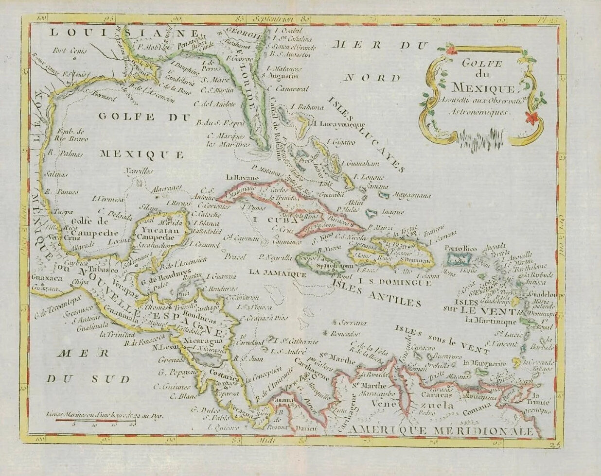
1787 - A fine and rare original antique map titled: ' GOLFE DU MEXIQUE '
PROVENANCE: Taken from "ATLAS OU COLLECTION DE CARTES GEOGRAPHIQUES POUR L'INTELLIGENCE DU VOYAGEUR FRANCOIS" published by Joseph de Laporte.
A Detailed and Decorative map by Louis Brion de la Tour, of the Caribbean, Florida and the Gulf Coast. Includes Classic example of Florida as an Archipelago along with good detail in the West Indies.
Overall size of the map is 25cm x 20cm.
CARTOGRAPHER: Louis Brion de la Tour (c1743 - 1803) was the Cartographer Royal to the King of France. There is little information about his life. His official title was "King's Engineer Geographer." Although he is a prolific geographer, very little is currently known of his life or his career. His life was spent in scientific work. However what is known is an important part of his work was done in collaboration with Louis Charles Desnos (1750-1790 to) a bookseller and geographical engineer for the globes and spheres of His Danish Majesty.
His son Louis Brion de la Tour, a pupil of Jean-Bernard Restout, was engraver of maps and documents of the Revolution, and was also an occasional portrait oil paintings.
PUBLISHER: Joseph de Laporte (1714 - 1779) was an 18th Century French Priest, literary critic, poet, playwright and prolific author.
£110.00