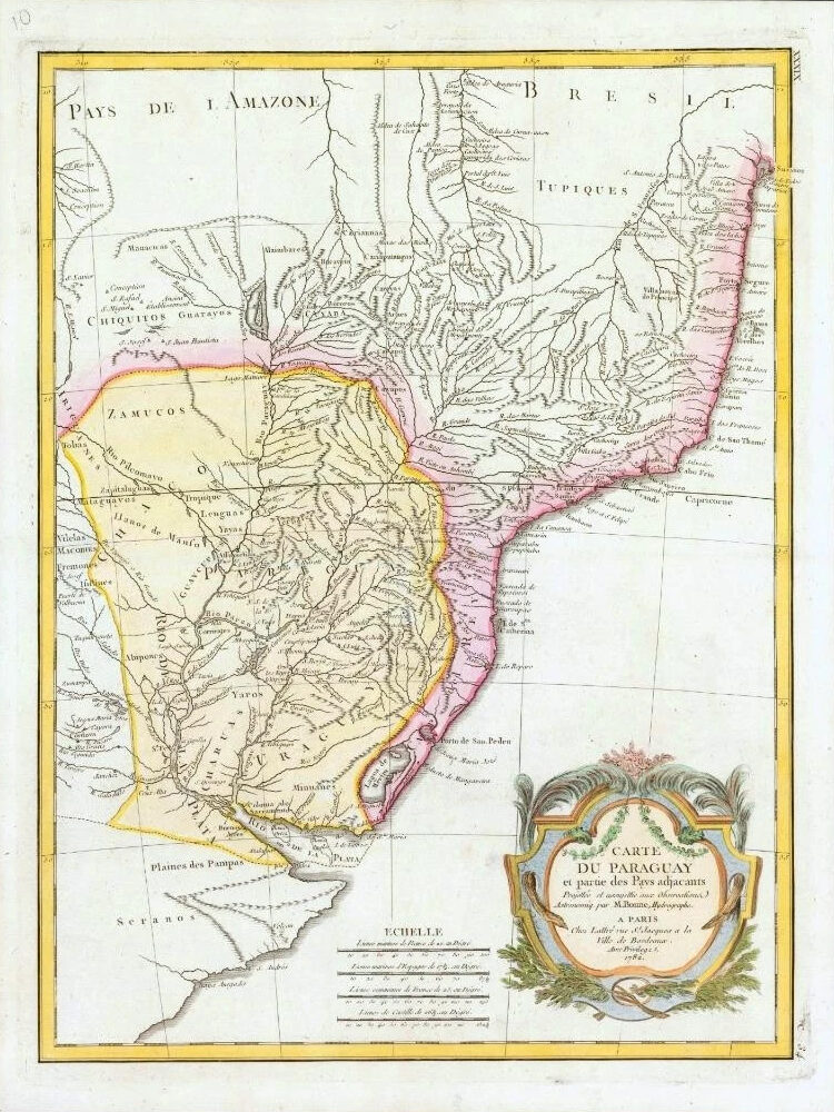
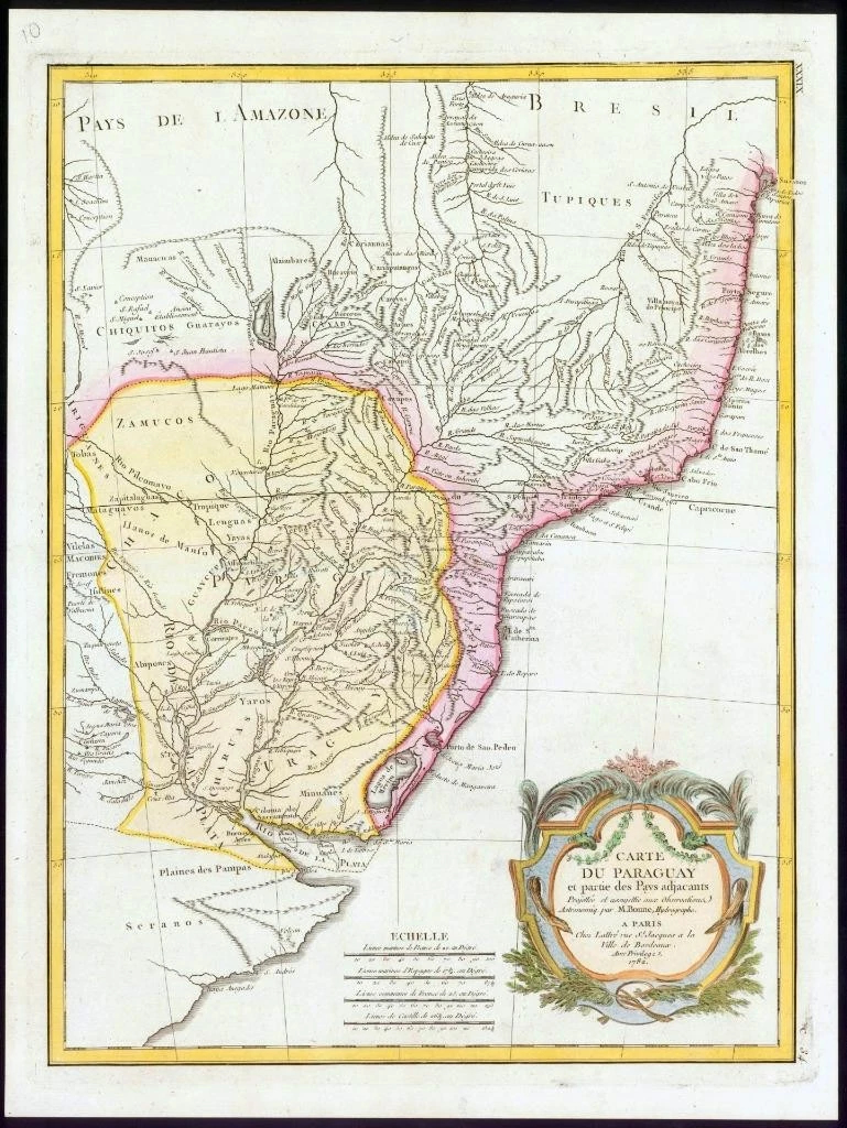
1782 - A fine and very rare original antique pair of maps titled: ' CARTE DU PARAGUAY et partie des Pays adjacants '
A highly detailed and decorative map of Paraguay. Covers from the Rio de la Plata north well into Brazil and the Amazon and extending westward as far as Cordova and eastward to San Salvador. Includes the modern day nations of Uruguay, Paraguay and parts of adjacent Brazil and Argentina. Offers excellent detail throughout showing mountains, rivers, national boundaries, cities, regions and tribes. Also identifies Buenos Aires, Rio de Janeiro and numerous important South American cities.
Overall size of the map is 48cm x 35cm with large margins, perfect for mounting & framing
CONDITION:Excellent overall condition with hand colouring and the centrefold, as issued. Blank on verso.
Publisher: Jean Lattre (fl. 1743 - 1793) was a Paris based bookseller, engraver, and map publisher active in the mid to late 18th century. Lattre published a large corpus of maps, globes, and atlases in conjunction with a number of other important French cartographic figures, including Janvier, Zannoni, Bonne and Delamarche. He is also known to have worked with other European cartographers such as William Faden of London and the Italian cartographer Santini. Map piracy and copyright violations were common in 18th century France. Paris court records indicate that Lattre brought charges against several other period map publishers, including fellow Frenchman Desnos and the Italian map engraver Zannoni, both of whom he accused of copying his work. Lattre's offices and bookshop were located at 20 rue St. Jaques, Paris, France.
£90.00