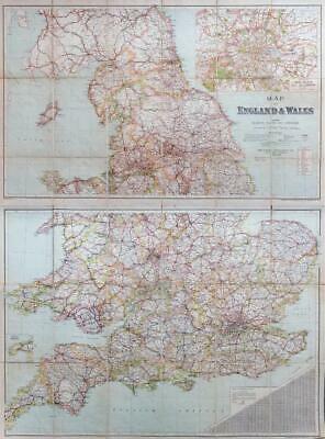
c1920 - " MAP OF ENGLAND & WALES showing Railways, Roads and Distances - The Chart Publishing Co, 7 St John's Street, Oxford "
Two linen backed 18 section colour maps, one to each side of the book when opened, North Sheet and South Sheet. Each map measuring 40'' x 29'' and 40'' x 25'' when opened.
In excellent condition with part of the spine loose.
£55.00