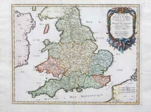
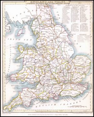
1745 - A fine antique map titled: "LE ROYAUME D'ANGLETERRE Divise en Comtez et Baronies - Dresse sur les dernieres Observations Par et chez le Snr le Rouge Ingenieur Geographe du Roi, rue des Augustins a Paris"
A fine folio size original antique map by Georges Louis and published by Le Rouge in Paris with decorative Cartouche and early hand colour.
Overall in very good condition and measuring approximately 52cm x 64cm with early hand colouring and large margins, perfect for mounting and framing. Central fold as issued.
£165.00