c1883 COUNTIES OF LEICESTERSHIRE & RUTLAND MAP Leicestershire (PC18)

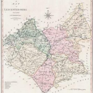
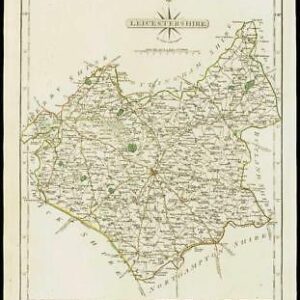
1883 - An original antique Map titled: "THE COUNTIES OF LEICESTERSHIRE & RUTLAND"

Published by George Philip & Son in 1883 and taken from the "Philips County Atlas".
Overall size approximately 19cm x 23cm including margins.

© Copyright 2024 - The Antique Paper Company - All Rights Reserved
heartshopping-cart linkedin facebook pinterest youtube rss twitter instagram facebook-blank rss-blank linkedin-blank pinterest youtube twitter instagram