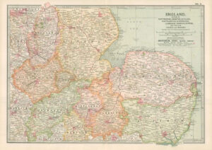
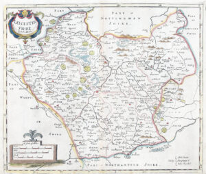
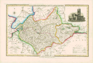
1868 Leicestershire Boundary Commission Ordnance MAP PLAN of LEICESTER (BC90)

1868 - An original antique lithograph map taken from 'Boundary Commission Report for England and Wales' titled: "LEICESTER"
Overall size of this map is approximately 26cm x 36cm.
Printed by George Edward Eyre and William Spottiswoode, London for her Majestys Stationery Office.

£45.00
1 in stock

© Copyright 2024 - The Antique Paper Company - All Rights Reserved
heartshopping-cart linkedin facebook pinterest youtube rss twitter instagram facebook-blank rss-blank linkedin-blank pinterest youtube twitter instagram