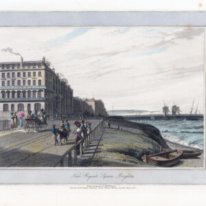
c1880 - " REDUCED ORDNANCE SURVEY AROUND BRIGHTON scale two miles to an inch "
A fine bound example of this very large folding map of Brighton and its environs.
Approx size 100cm x 130cm once folded out. In excellent condition.
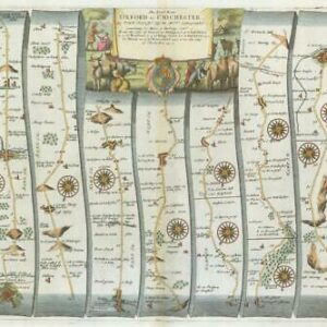
Around 1860 the prominent mapseller George Frederick Cruchley reissued John Cary’s plates originally used in the early 1820s. Cary's Improved Map of England and Wales with a considerable part of Scotland consisted of a total of 65 nearly square maps and was first published in parts by John Cary, in London between 1820 and 1830. Cary sold the sheets as a boxed set of folding maps and as an atlas in 1832. After Cruchley obtained the maps he continued to sell each sheet separately in covers as Cruchley's Reduced Ordnance Map of England and Wales, and in a variety of different covers, each section being approximately 500 by 630 mm.
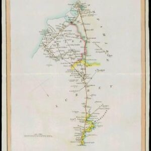
Twenty years later maps would be published by George Richmond (see Raymond Frostick: George Richmond – Map Publisher; in IMCoS Journal; Issue 75 Winter 1998; pp.33-43. Richmond was at the Nechells address circa 1875-77.) including a map of Exeter in c.1876. George Richmond was baptised September 1st, 1822 in Uley, Gloucestershire. He married Mary Ann Case at Stratford in 1852 when he was listed as Commercial Traveller. The following year his first child was registered in Birmingham. Richmond was first registered as Mapseller in 1864 and the first published map found for him is dated 1868. He produced his adaptations of the Cary maps between 1875-1893. A number are reported at major libraries
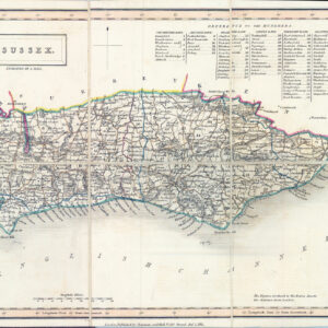
Some sheets were used again by local booksellers in their guides at the end of the century.
£90.00