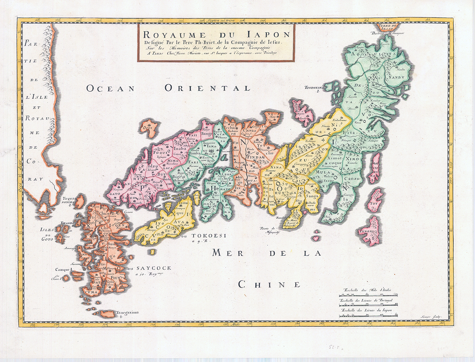
c1667 - "Royaume Du Iapon Designe par le Pere Ph. Briet......."
Striking early map of Japan and Korea. Briet's map follows the Blancus/Moreira model, and looks very similar to the Christophoros Blancus unpublished map of 1617. The map shows a well-shaped Japan with named provinces, and major cities including Tokyo (Yendo) and Kyoto (Meaco). Kyushu and Shikoku are shown with exaggerated inlets, and the tip of Hokkaido is Terre de Iesso. Korea is described as an island, but is only partially shown.
Overall size approximately 57cm x 44cm.
Condition is excellent.
£1,350.00