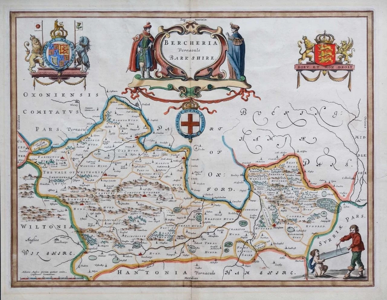
c1646
" BERCHERIA Vernacule BARKSHIRE "
A very fine example of this map of Berkshire by one of the most highly regarded mapmaking dynasties of any period. Dutch mapmakers dominated the seventeenth century European publishing industry and supreme amongst many were the Blaeu family, whose maps then, as now, were renowned for their artistic presentation, fine engraving, quality of production and fine in-house colouring. Although based on John Speed's information published 30 years earlier, this is a finer engraving with coats of arms and rural vignettes.
The Blaeu workshop, based in Amsterdam, produced the most magnificent atlases and maps of the period, the time in which the Netherlands was experiencing its 'Golden Age' in art, sciences and commerce. Blaeu used only the best engravers, printers and colourists and only the finest materials, including paper, to produce his atlases. In 1645 he published a county atlas of England and Wales as part of this 'Theatrum Orbis Terrarum' series
The reverse of the map has the rare Latin Text & measures 53cm x 42cm, with early hand colouring. Original antique Map is in good condition with central fold as issued. Outer margins trimmed but full text intact on verso.
£220.00