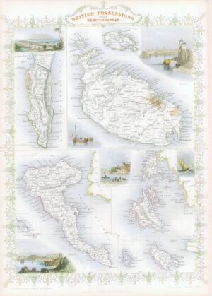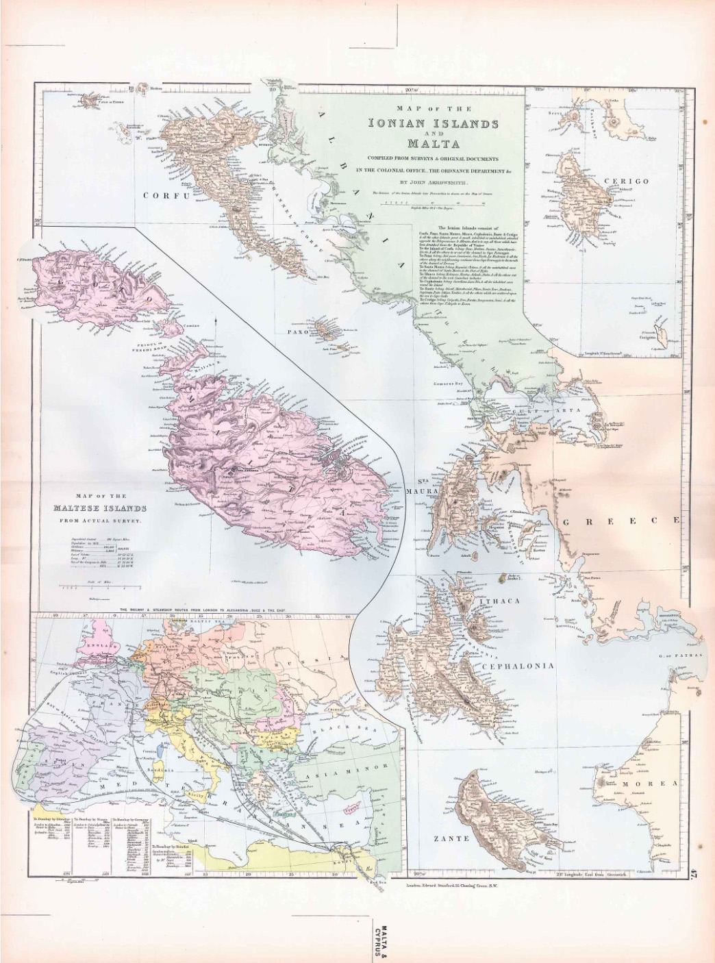
1887 IONIAN ISLANDS, MALTA AND CYPRUS
Very large antique lithograph map published for STANFORDS LONDON ATLAS OF UNIVERSAL GEOGRAPHY exhibiting the Physical and Political Divisions of the Various Countries of the World - Folio Edition. A fine example of this rarer folio size map with central fold as issued.
Overall size approx 76cm x 56cm (30in x 22in) including margins. Condition is very fine.
£85.00