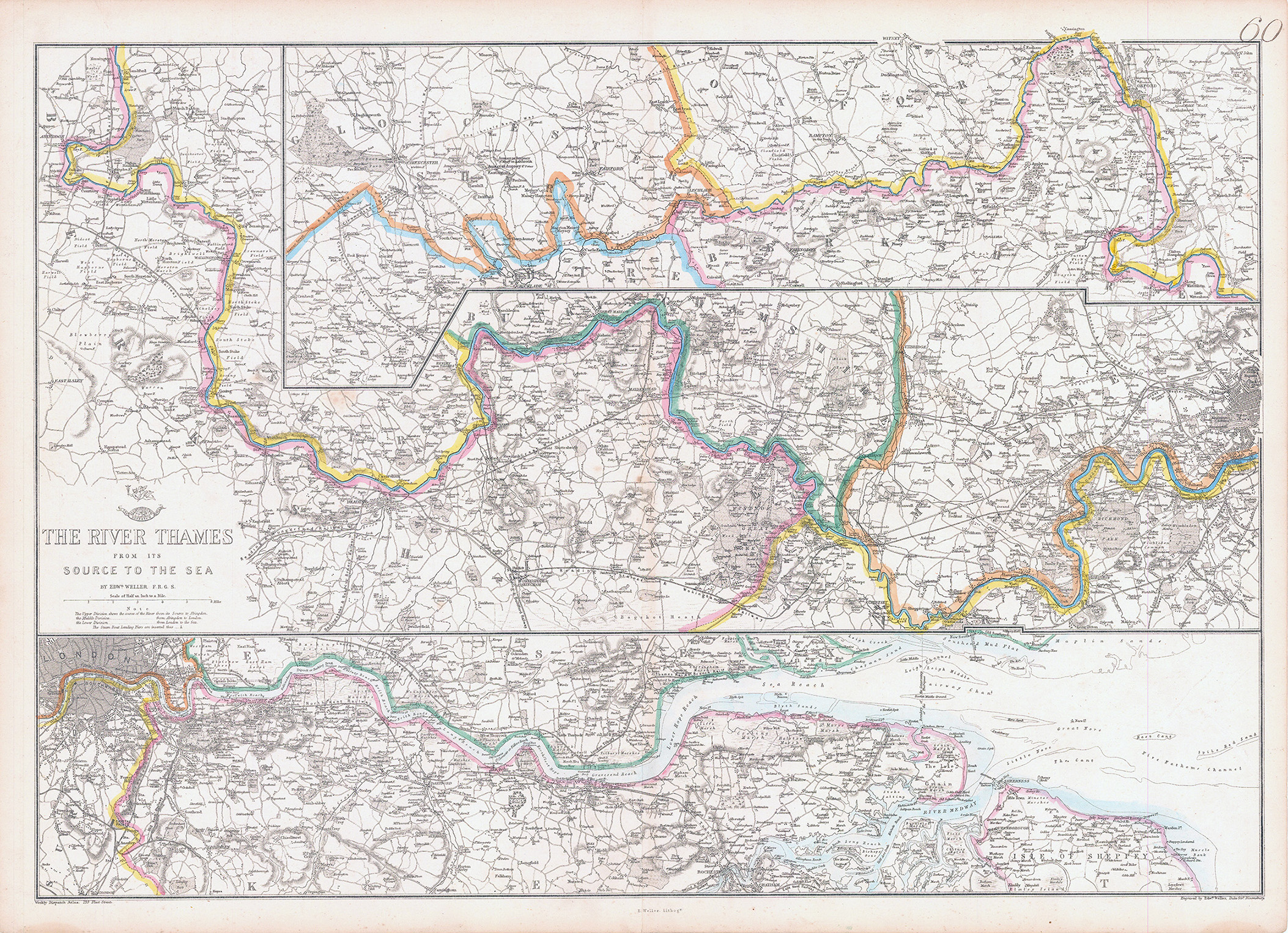
'THE RIVER THAMES FROM ITS SOURCE TO THE SEA'. Thames Valley. WELLER 1863 map. Antique map with original outline colour; Engraved by Edwd. Weller (c1863).
Size 47.0 x 67.0cm, 18.5 x 26.25 inches.
A map of the Thames valley comprising three strip maps. The top strip extends from Cirencester to Oxford, the centre strip from Oxford through Reading, Henley, Marlow, Maidenhead, Windsor, Staines, Chertsey, Kingston, Richmond to West London. The lower strip covers London to the mouth of the Thames and the Thames Estuary, including the Medway and the Isle of Sheppey. First issue with the Weekly Dispatch logo above the title. The network of railway lines in proximity to the river are shown.
£220.00