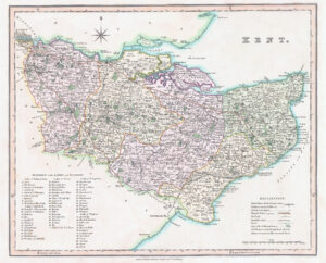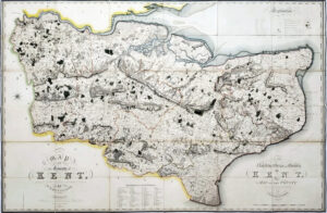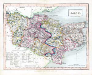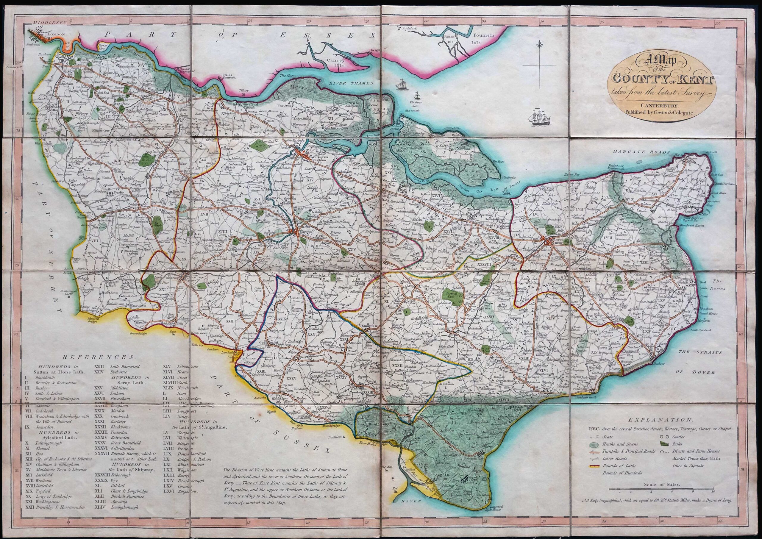


c1820 – An Original Folding Map of the COUNTY of KENT taken from the latest Survey CANTERBURY published by Cowton Colegate.
An excellent example of this rare folding map of Kent with original hand colour.
Dissected into 16 sections and laid to linen and with original slip case the title label.
Size approximately 71cm x 51cm.
£450.00