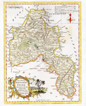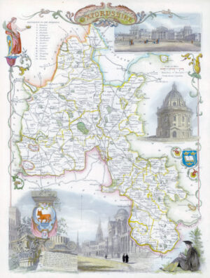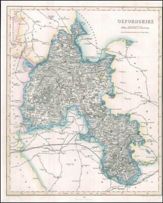
1842 - An original Antique Map titled: 'OXFORDSHIRE'
A fine example of this map by Fisher Son & Co - Taken from 'Fisher's County Atlas of England and Wales.
Overall size of map is 37cm x 29cm with large margins, perfect for mounting & framing and with original outline hand colour.
Generally fine condition and perfect for mounting and framing.
£27.50