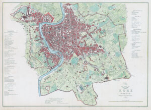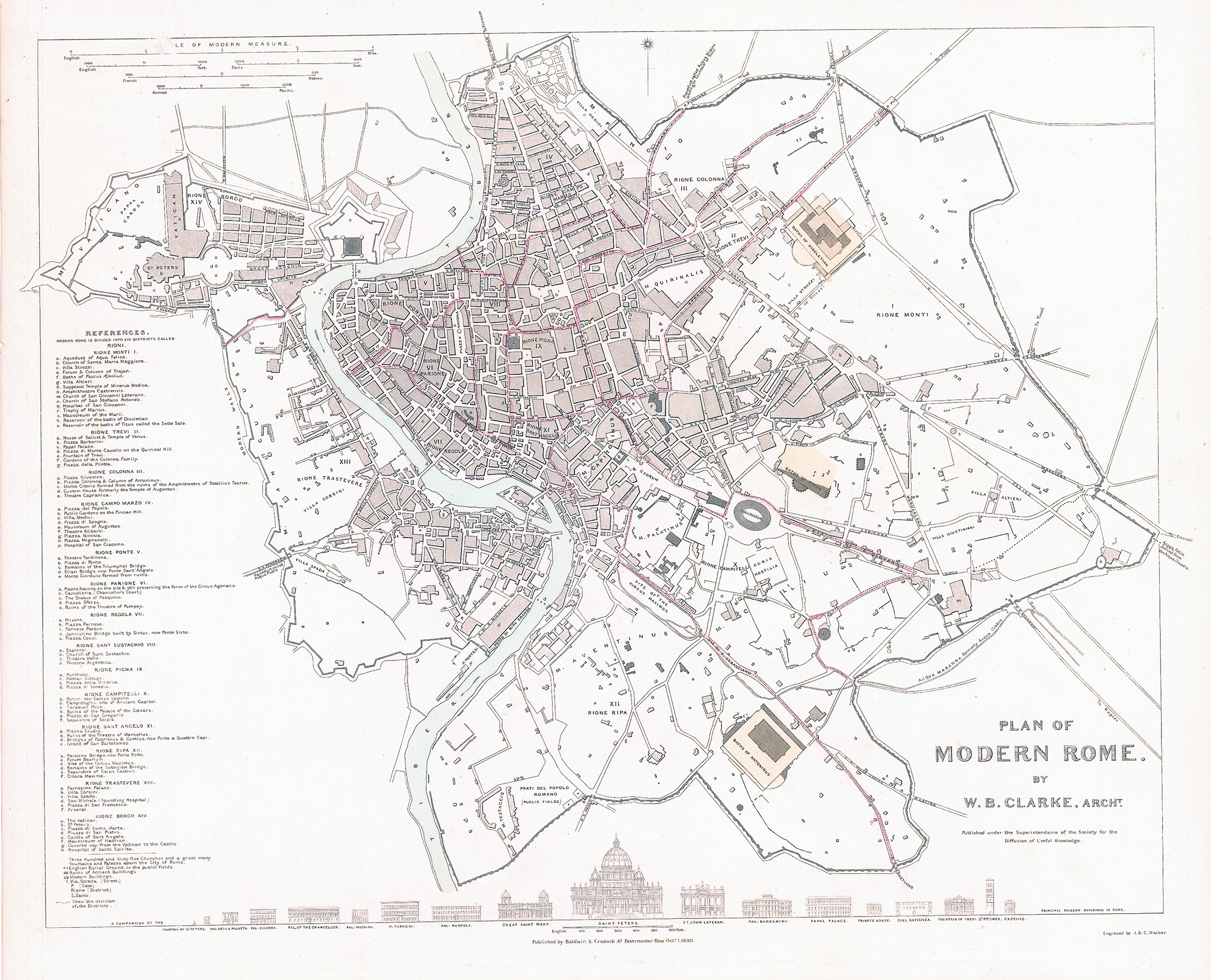
1830 - PLAN OF MODERN ROME Map by W B CLARKE
Steel engraving by John and Charles Walker after William Barnard Clarke, original hand colour, blank verso. At the foot of the map are architectural elevations of some of Rome’s most famous post-classical buildings, dominated by St Peter’s. Rome was then divided into 14 districts, and a legend to the left of the map identifies churches, antiquities and other landmarks in each one. The population in antiquity may have reached one million, but when our map was made it was probably less than 200,000, and only a quarter of the area within the ancient walls was built up, shaded grey by the engraver.
The Society for the Diffusion of Useful Knowledge was founded in 1826 with the high-minded aim of making 'useful' information available to self-taught members of the working and lower middle classes. Some of the material was decidedly abstruse, subscribers fell away and the Society was wound up in 1848; however, the series of 209 maps published over a 14 year period from 1829 onwards were highly praised for their superior quality, accuracy and aesthetic appeal and remain an outstanding achievement.
Size approximately 40.5cm x 34cm including margins.
Condition is excellent.
£80.00