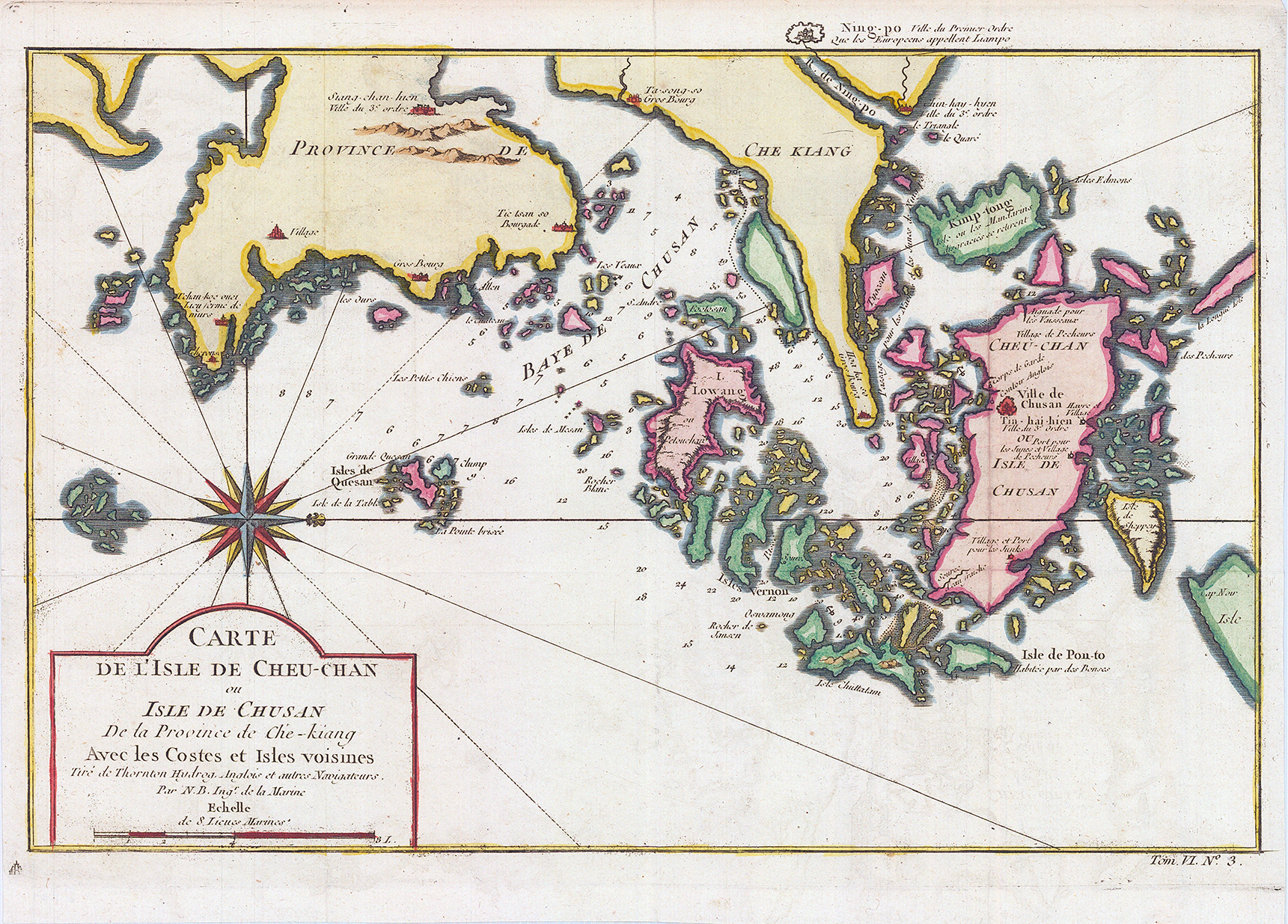
1749 - "CARTE DE L'ISLE DE CHEU-CHAN ou ISLE DE CHUSAN De la Privince de Che-kiang Avec les Costes et Isle voisines". Original antique 18th century map of the eastern Chinese province of Chekiang with the island of Chusan and the islands of the Chusan archipelago by Jacques Bellin.
Size approximately 33cm x 24cm.
Condition is excellent with folds as issued.
£90.00