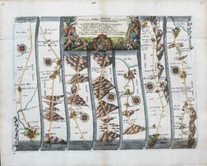
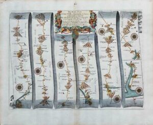
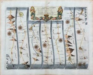
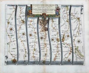
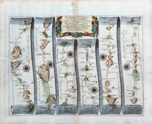
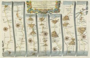
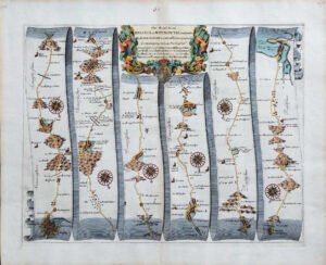
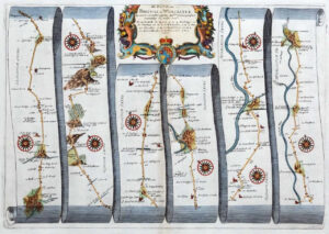
1719 Set of 2 original antique Road Maps titled "THE ROAD from LONDON to FLAMBOROUGH in YORK-SH Commencing at STILTON in the Barwick Road And showing the Way to Stilton through Tamesford"
A superb FIRST ISSUE very early set of 2 road maps by John Senex
Superb condition, especially being from the First Edition. Good margins, perfect for mounting and framing and with fine hand colouring. Overall size of each map approx 23cm x 19cm.
John Senex (1678-1740), was born in Ludlow. In 1695 he was apprenticed to the London bookseller Robert Clavell. He became a renowned engraved and seller of maps and globes and certainly one of the more respected cartographers of the 18th Century.
Senex started his own business in 1702, working the London hotbed of cartographic creativity that was the Strand and then in Cornill until 1706. He formed a partnership with various map-makers including Jeremiah Seller and Charles Price who were the successors of map maker, John Seller.
During the course of his career as an engraved and publisher, John Senex produced a vast array of cartography, from maps of the world and the continents as well as individual county maps of phenomenal detail. But it is for his Road Maps that he is best known and 1719 saw is sham version of John Ogilby's 'Britannia' - a series of superb strip maps, larger than Owen & Bowen's and smaller than Thomas Gardner's/ It ran through many editions with this map being from the FIRST ISSUE.
£75.00