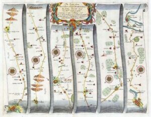
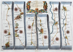
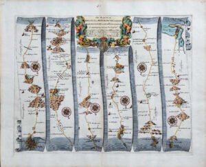
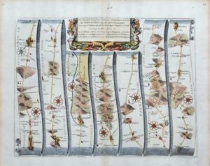
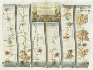
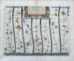
1675 - Large original antique engraved road map Titled: 'The Road from FERRYBRIDGE to BOROUGHBRIDGE continued to BARNARD CASTLE....from Ferrybridge to Abyforth to Wetherby to Boroughbridge to Rippon to Lemying to Richmond to Barnard Castle compleated with the branch from Ferrybridge to Wakefield '
A fine large format original Road Map by John Ogilby.
Overall size of this Full Page print is approximately 41cm x 50cm with large margins, perfect for mounting and framing.
Excellent condition with central fold as issued.
£275.00