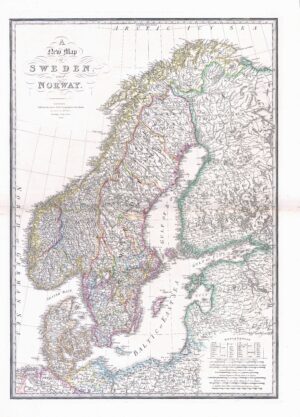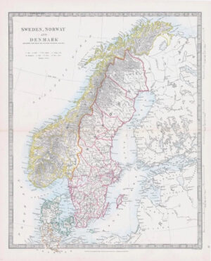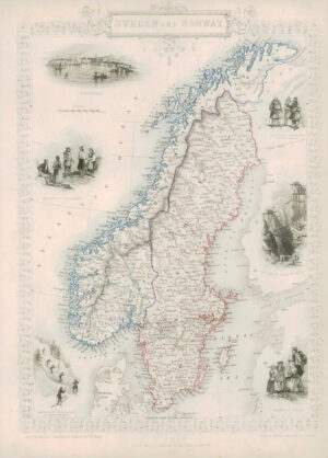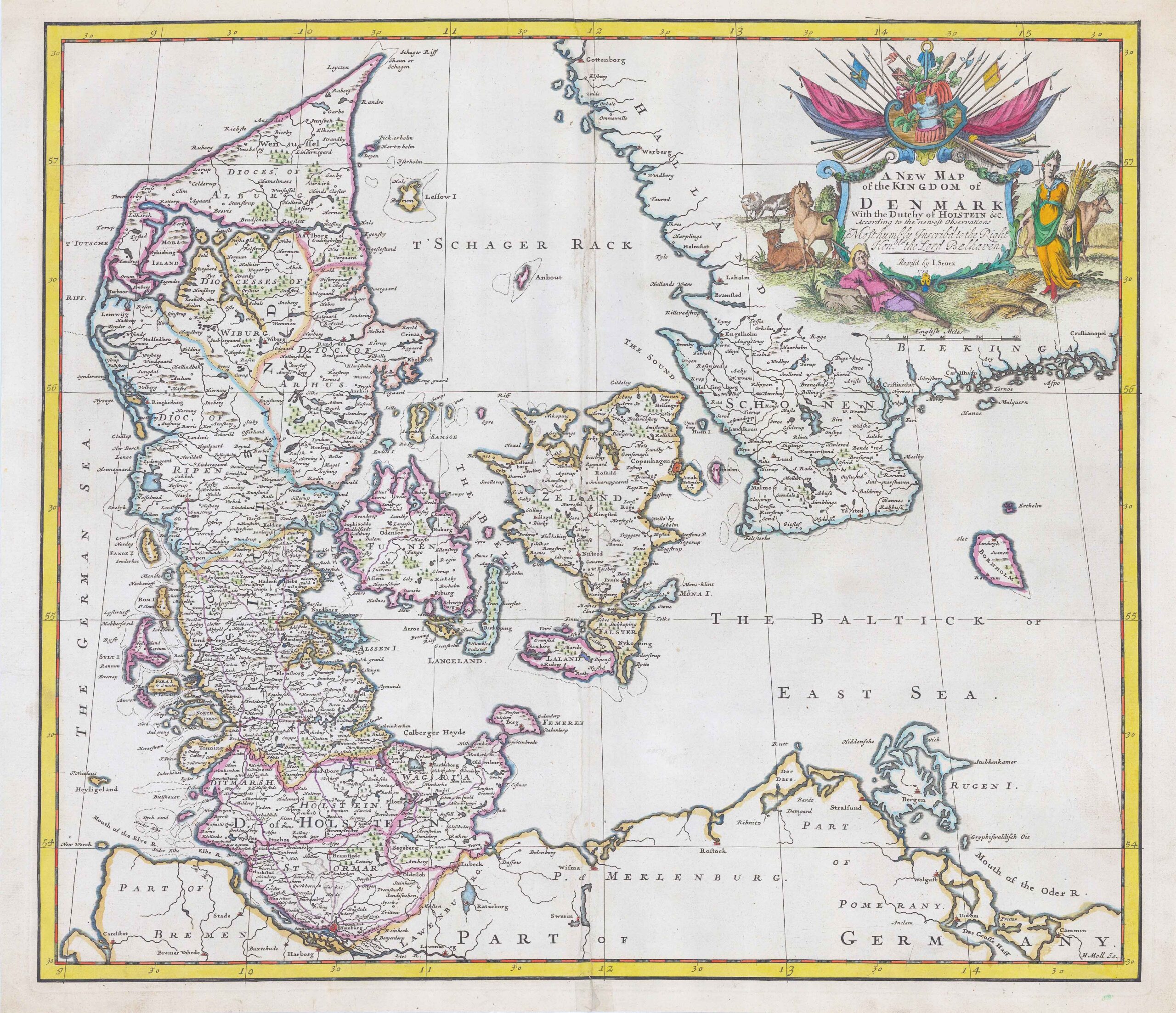
1719 - "A NEW MAP OF THE KINGDOM OF DENMARK With the Dutchy of HOLSTEIN According to the newest observations" by John Senex.
A fine original engraved map published for "New General Atlas". Fine dark impression of this scarce map, including a decorative cartouche, dedication to Lord Balhaven.
Condition generally fine with central fold as issued and with later hand colouring. A couple of minor surface splits in the lower area of the central fold.
Size approximately 59cm x 52cm including margins. Blank on verso.
£280.00