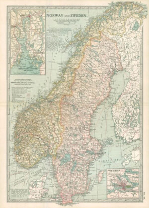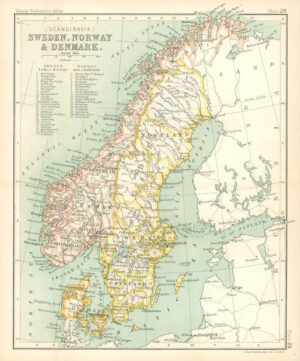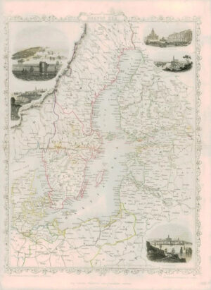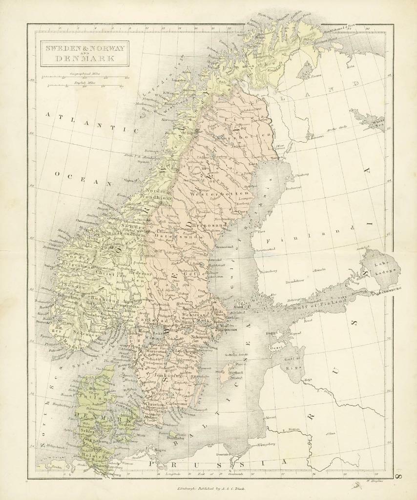
1860 - Original Antique Map titled: " SWEDEN & NORWAY and DENMARK"
Provenance: Taken from 'Blacks School Atlas of Modern and Ancient Geography including the Principal Maps required for instruction in Physical and Scripture Geography and the Elements of Astronomy' by W. Hughes & John Bartholomew and published by A & C Black, Edinburgh.
Good condition overall with central fold as issued. Some age toning and handling marks.
Size approximately 23.5 x 28.5 including margins.
£19.80