1675
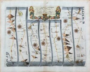
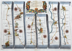
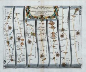
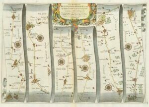
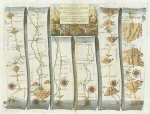
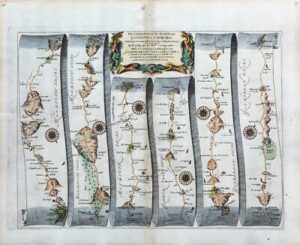
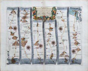
Large original antique engraved road map titled:
' The Road from LONDON to WEYMOUTH com Dorset from London to Basingstoke com Hants in the Lands-end Road to Sutton to Stockbidg to Broughton to Dunketon to Cramborn to Blandford to Dorchester to Weymouth '
A fine large format original Road Map by John Ogilby.
Overall size of this Folio size print is approx 41cm x 50cm with large margins, perfect for mounting & framing.
Excellent condition with central fold as issued.
John Ogilby (1600-1676) is one of the most interesting of all British mapmakers, remarkable for the way that he dealt with successive adversities in his private life: having to work at an early age to pay off his father's debts, a dancer whose career ended with a dance injury, a theatre owner who saw the theatre destroyed in riots, along with all his possessions, and a litery published whose stock was destroyed in the Great Fire of London, but surviving, going on to become Cosmographer to King Charles II.
Ogilby was born in Scotland, but moved to London, where he was apprenticed in the Merchant Taylors, freed by patrimony on 6th july 1629. After the early setbacks as a dancer and theatre owner, he established himself as a publisher in London, specialising in lavish classical translations, which he made himself, notably illustrated editions of Virgil. After the Great Fire of London in 1666, Ogilby repositioned himself as a publisher specialising in geographic and cartographic material. After the fire with step-grandson William morgan, Ogilby became a 'sworn viewer' of the lands within the City of London's property, and undertook a survey of the capital, which they later published, petitioning the Corporation of the City of London for financial assistance to fund the project.
The survey was much delayed, but Ogilby and Morgan eventually produced two of the greatest seventeenth century surveys of London: a plan of the City of London appearing as A New and Accurate Map of the City of London, distinct from Westminster and Southwark published on 20 sheets, in 1676, and a plan of the whole of London which appeared posthumously in 1682 as 'London &c. Actually Survey'd'. While working on these larger projects, Ogilby also conceived and ambitious atlas project, to describe the British Isles and the countries of the World. The first volumes were translated from the Dutch originals, and in the main illustrated with Dutch plates, although some English maps were created for them including Johann Nieuhoff's 'An Embassy from the East-India Company of the United provinces, to the Grand Tartar Cham' (1669), Arnold Montanus' 'Africa' (1670) and his 'Atlas Japanennsis' (1670).
£198.00