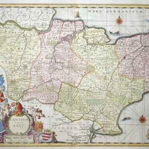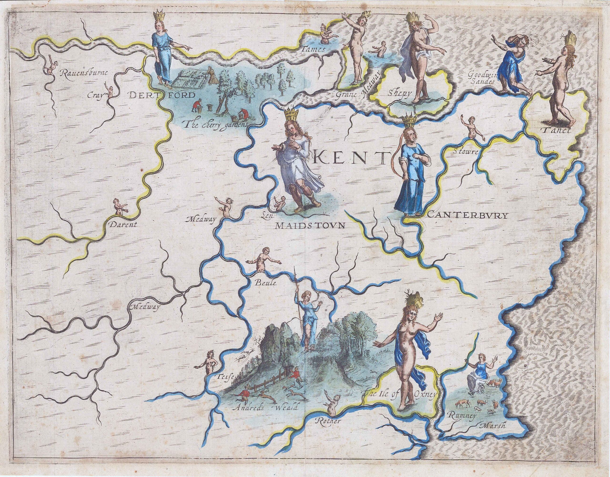
Original Antique engraved Map of the regions of Kent by Michael Drayton (1563-1631) for the Poly-Olbion. Illustrated with 'allegorical' figures - rivers were represented by nymphs, hills by shepherds, forests by huntresses and cities by crowned female figures. The 'Poly-Olbion' was an epic Topographical Poem divided into thirty songs written in Aledandrine couplets, ran to nearly 15,000 lines of verse. Each song described one, two or three counties, describing their topography, traditions and histories. The first part was published in 1612, with eighteen maps probably engraved by William Hole (who signed the frontispiece).
Drayton had been a favourite of Queen Elizabeth's court, but was not so popular with James I. Perhaps to rectify this, the 'Poly-Olbion' was dedicated to Henry, Prince of Wales, but Henry dies in 1612, the year of Publication. The word did not sell well and it was not until 1622 that Drayton could find a publisher for the second part, which contained ten more maps. Drayton intended to compose a further part to cover Scotland, but no part of this work is known to have survived. Despite these setbacks, Drayton was still prominent enougth to be buried in Poets' Corner in Westminster Abbey when he dies in 1631. It was only posthumously that the Poly-Olbion became a literary classic.
Size approx 34cm x 26.5cm including margins. Condition is good with central fold as issued. Later hand colour & blank on verso.
£350.00