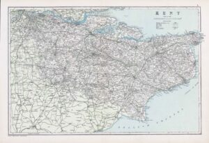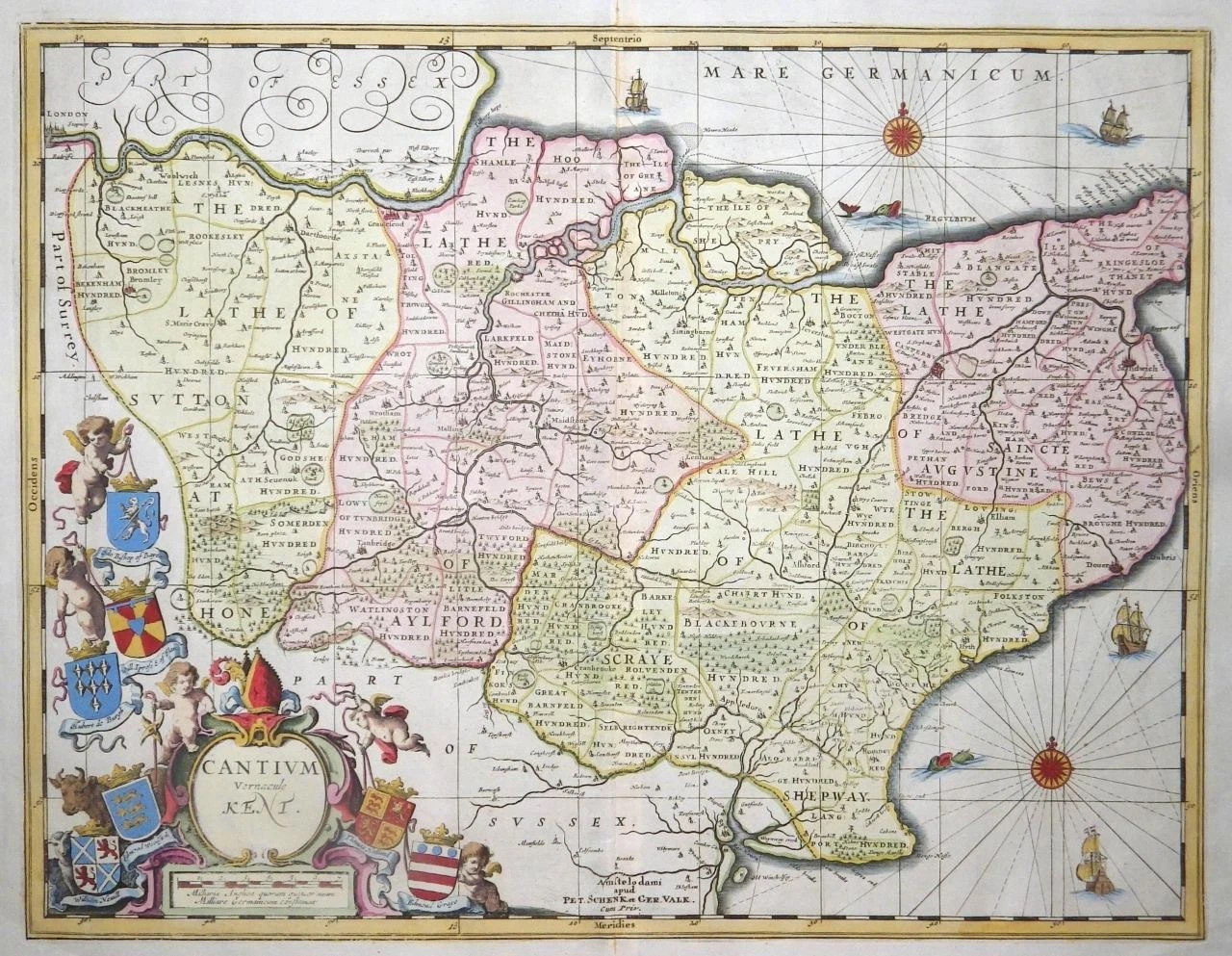
c1686 " CANTIUM Vernacule KENT "
A highly decorative and finely engraved 17th Century Map of Kent - with decorative Cartouche, Coats of Arms and Ship illustrations, by Jan Jansson and later updated by Schenk & Valk. The reverse of the map is blank & measures 610 x 520 mm with hand colouring.
Petrus Schenk (1660-1711) and Gerard Valk (1652-1726) often worked in partnership, towards the end of the Dutch Golden Age, when the United Provinces still led Europe in the field of map-making. Together they purchased the surviving copper printing plates of the famous Janssonius firm, among others, and reissued them under their own imprint. Originally printed and published by Jan Jansson for his Atlas Novus (1646-1666). Jansson was one of the leading Dutch map makers during the period in which the Netherlands led the World in commerce, art, science and especially, cartography. This map was the later edition, updated by dutch cartographers Schenk & Valk in the late 1600s.
£485.00