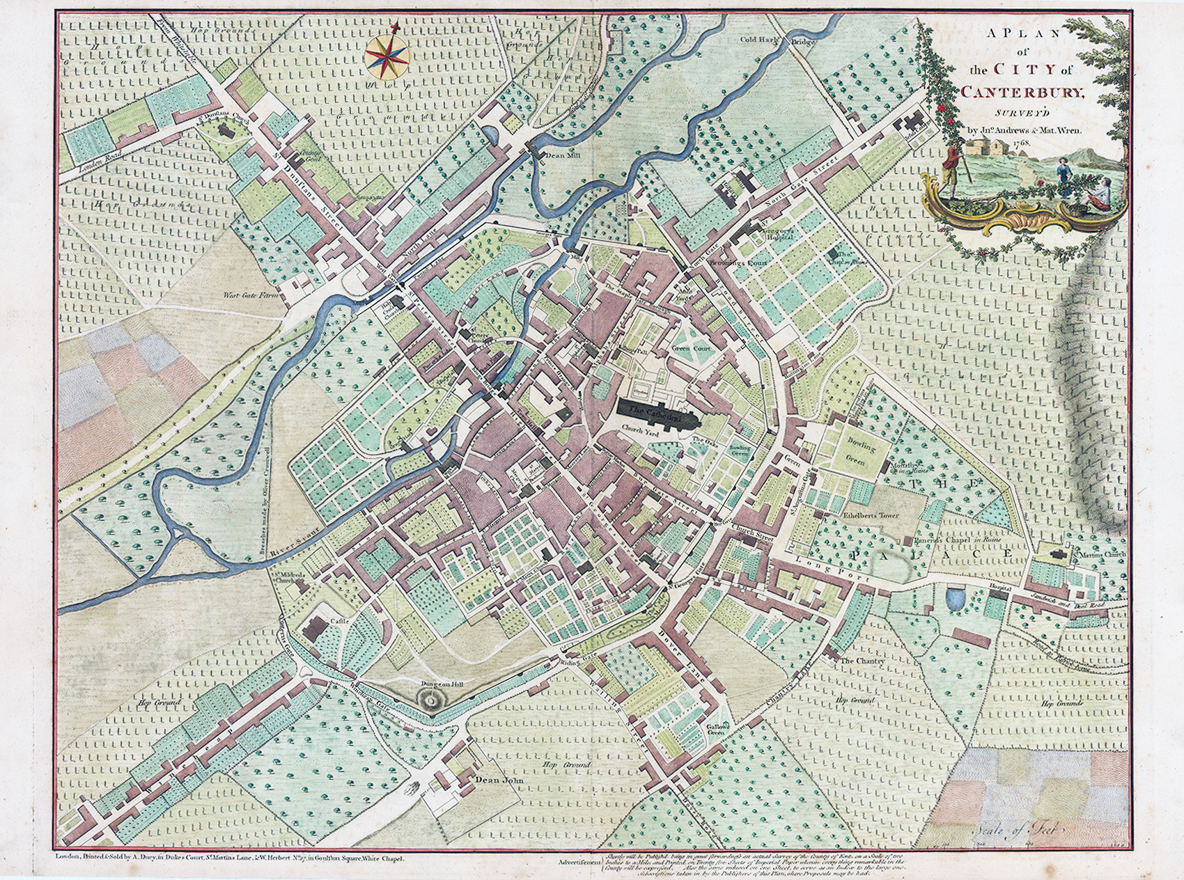
1768 "A Plan of the City of Canterbury Survey'd by Jn Andrews & Mat Wren 1768"
A fine large original antique City Plan/Map of Canterbury by John Andrews & Matthew Wren 'London: printed and sold by A. Dury & W. Herbert'. The city is shown centered around the prominent dark structure of the Canterbury Cathedral and enclosed by its historic medieval walls and the River Stour. The top right corner features a beautiful, illustrative rococo cartouche showing rural or pastoral scenes, alongside the official title. Drawn at an incredibly detailed town-plan scale (roughly 19 inches to a mile), it meticulously details individual property plots, formal gardens, orchard lines, and street names like St. Dunstan's Street.
Overall size approx 50 x 69cm. Condition is excellent with central fold as issued.
£300.00