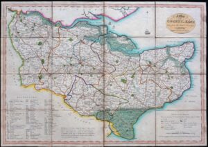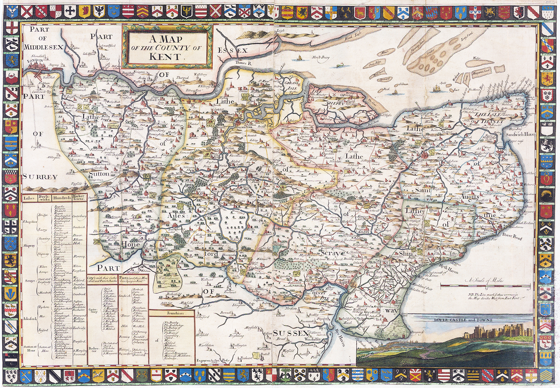
1719 A large original antique map titled" A MAP OF THE COUNTY OF KENT "
A stunning and very rare large original map of Kent from the John Harris book entitled 'The History of Kent in Five Parts' published in 1719. This magnificent map was engraved by Samual Parker and is based on the work of Philip Symondon, who map of Kent was first published in 1596 and is beautifully outlined with 188 Coats of Arms of the noble families of the county.
Comprising two sheets jointed together, this large map of Kent is drawn to a scale of 5.25 inches to one mile and includes a legend identifying the county's Lathes, Bayliwicks, Hundreds, Market Towns, Cities, Ports and Franchieses. A view of the DOVER CASTLE AND TOWN appears in the bottom right corner and the City of London is shown to the North upper left corner.
Blank on verso. Overall size approx 84cm x 58cm. Condition is generally fine. The top margin is intact and the bottom and sides are trimmed to the map margins and have had outer margins added to the sides and bottom.
£750.00