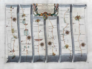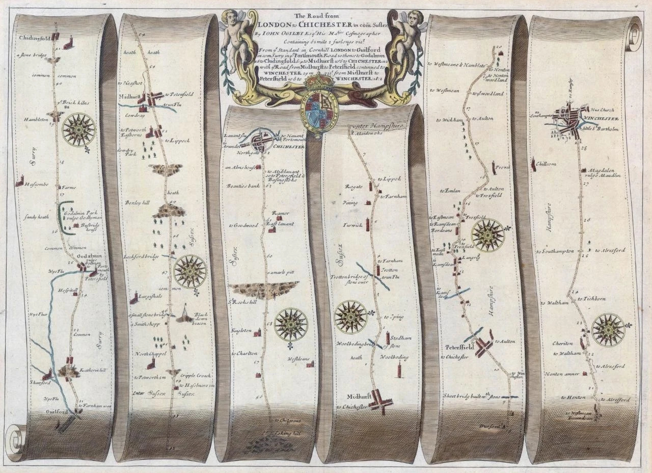
1675 - " THE ROAD FROM LONDON TO CHICHESTER "
This handsome road map is from John Ogilvy's Britannia, which was the first survey of the roads of England and Wales. It was also the first graphic delineation of roads which established the practice of representing the road on the continuous unfolding strip. Blank verso.
Starts in Guildford, through Godalming, Chiddingfold, Midhurst to Chichester and onto Petersfield and Winchester.
Measures 470 x 380mm with early hand colouring.
CONDITION: Original antique Map is in good condition with the usual central fold as issued. Lightly age toned in the maring but will look wonderful once mounted and framed.
£192.50