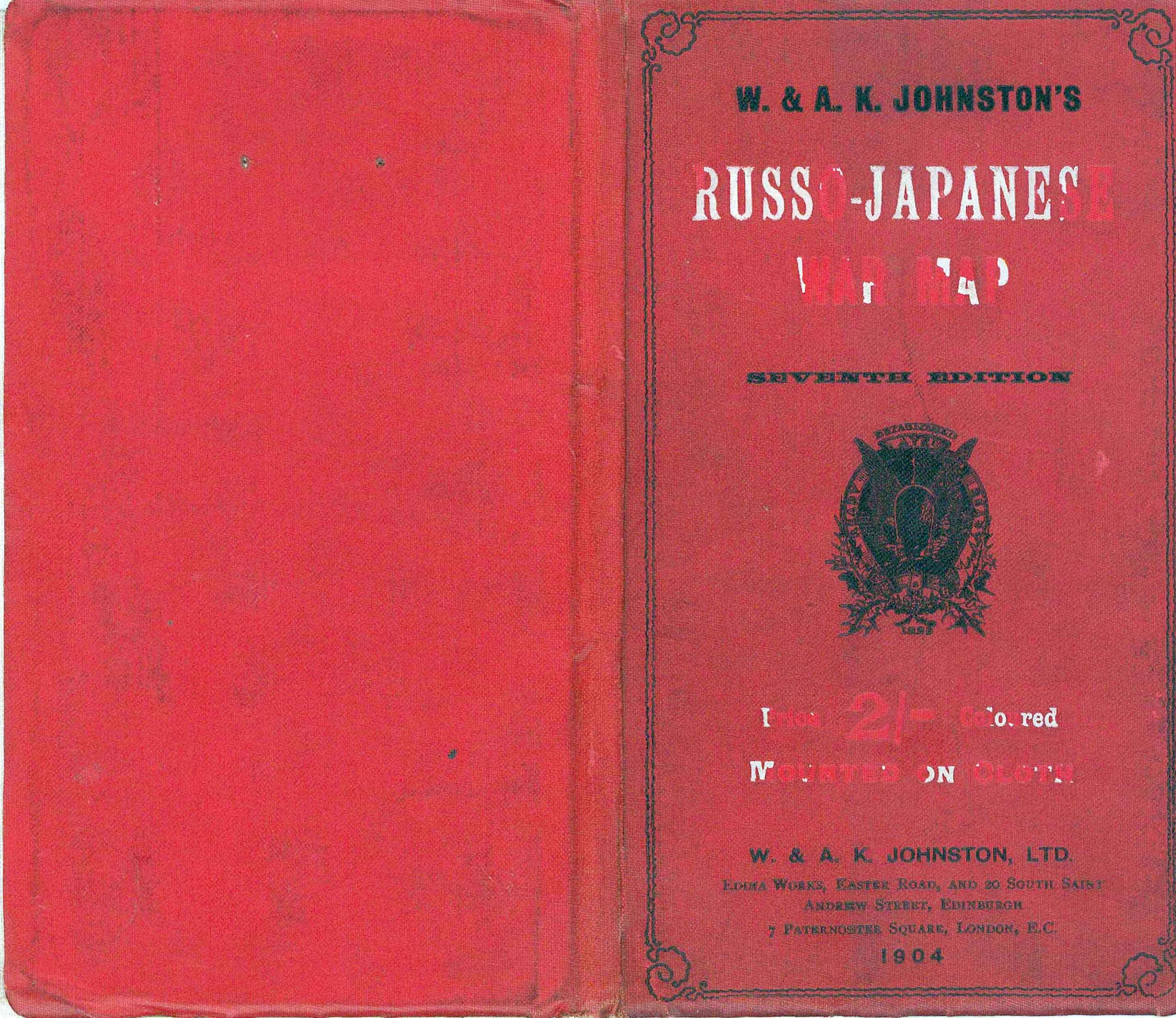
1904 - "JOHNSTON'S RUSSO-JAPANESE WAR MAP"
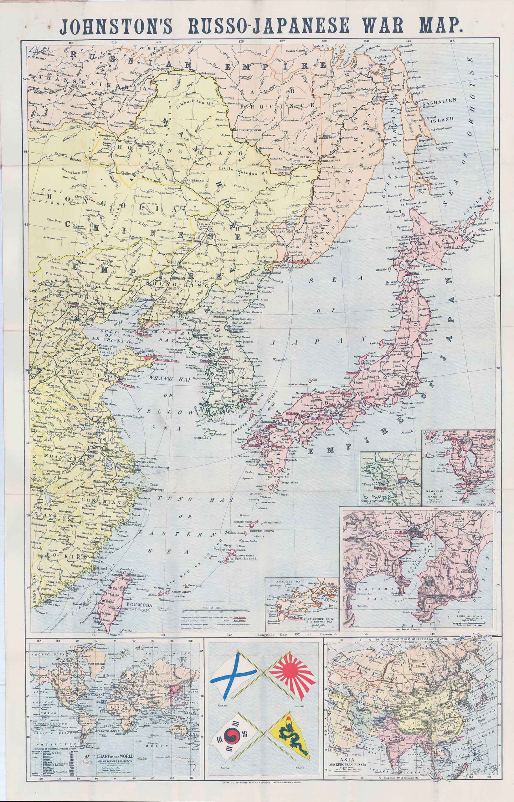
Separately issued folding map backed on linen as originally issued, showing the Russo-Japanese War. It was published by W. & A. K. Johnston in London, 1904.
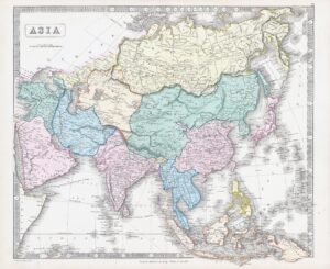
Inset maps included are: a Chart of the World, Asia and European Asia, Tokyo and Environs, Nagasaki & Saseho, Seoul & Environs and Port Arthur, Dalni & Ta-Lien-Wan Bay. Also shown in the lower centre are the flags of Russia, Japan, Korea and China. Principal places in the conflict are underlined in red, while ports open to foreign commerce are underlined in black. Railways in use, railways under construction and submarine telegraphs are all drawn in. This map shows Asia at the peak of the conflict between the two empires.
The firm of W. & A.K. Johnston was one of the major publishing houses of the 19th century. Co-founders, brothers William and Alexander Keith (1804-1871) Johnston, started out as apprentices to the Scottish globe maker and publisher James Kirkwood in his Edinburgh workshop. Having learned their trade there, they set up their own business, also in the city. They acquired the established Scottish publishing house of William Lizars, and began, first printing by contract, and slowly expanding their repertoire into atlases, gazetteers, guide books, globes and much more.
Overall size once opened up approximately 88cm x 56.5cm.
Laid to linen and folding into red titled covers.
£330.00