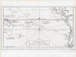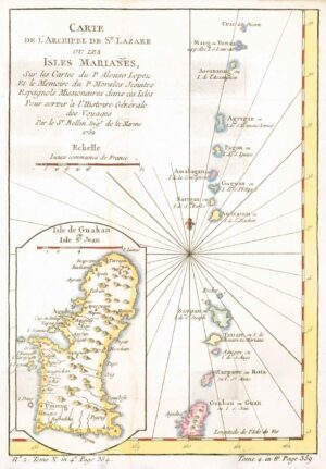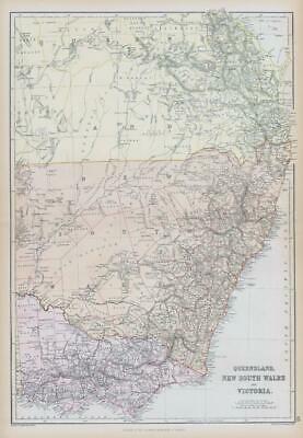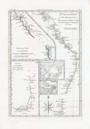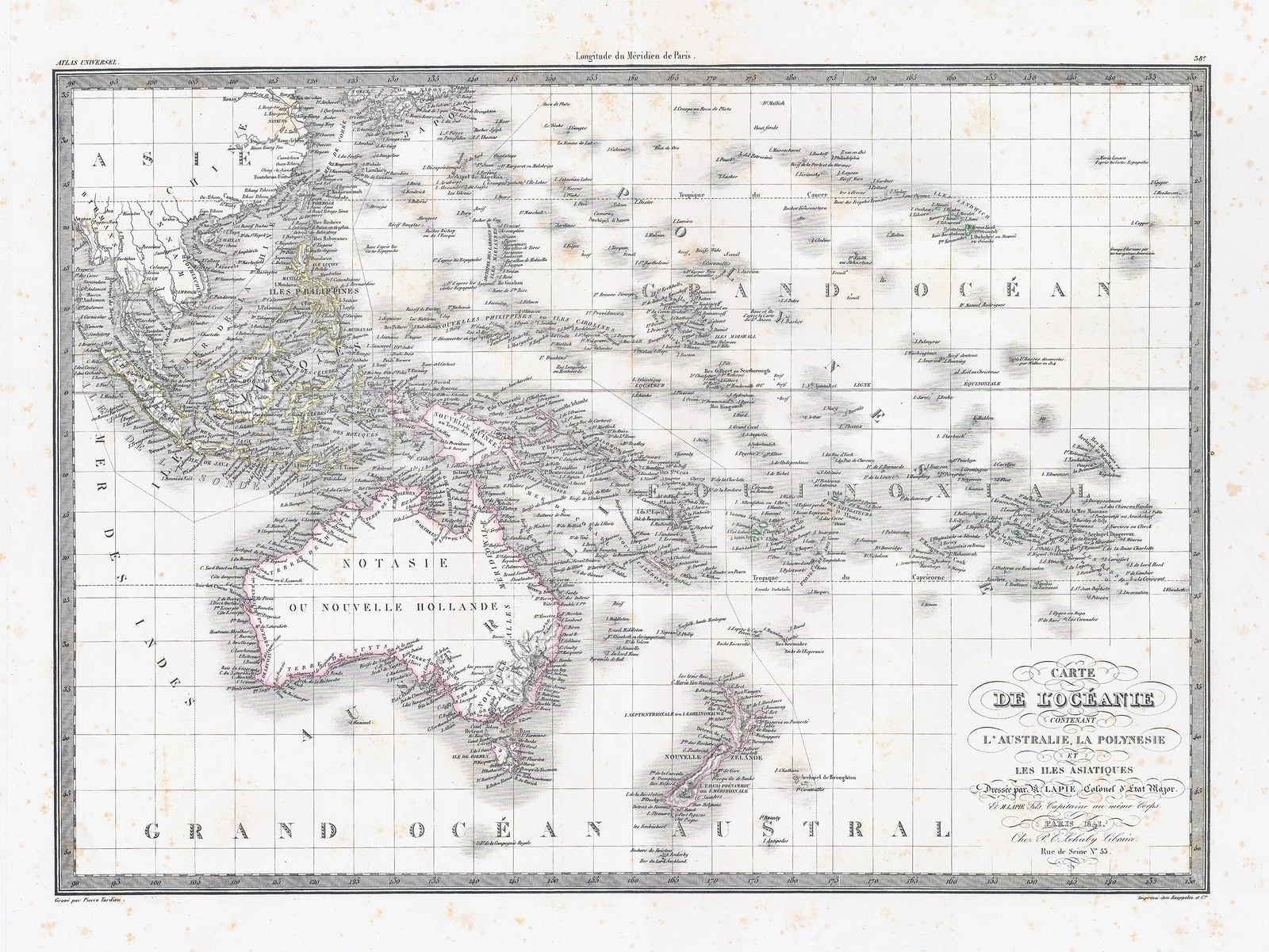
1841 - "CARTE DE L'OCEANIE L'AUSTRALIE LA POLYNESIE et LES ILES ASIATIQUES". Fascinating early French map of Oceana, most notably calling Australia "Notasie ou Nouvelle Hollande." Remarkably detailed map of the Southe Pacific, extending from Hawaii and Maria Laxara in the northeast to the Marquesas and the Islands around Tahiti in the Southeast, and extending to Australia, Southeast Asia and the Southern tip of Japan in the West. The most curious feature is the reference to Notasie ou Nouvelle Hollande. In Perry & Prescotte, there are only 2 maps located which use this name. The reference to Polynesia is also one of the earlier apparances of the name on a commercially published map. The extensive exploration by the French in this region in the first part of the 19th Century is clearly in evidence.
Overall size approximately 62cm x 47cm including the margins.
Condition is generally fine with some light occasional tone spots.
Pierre M. Lapie (1779 – 1850) was a French cartographer & engraver. He was the father of cartographer Alexandre Emile Lapie. Lapie was a Colonel in the French Army, where he worked in the corps of topographical engineers. Lapie worked closely with his son and published works together and individually. The work of Lapie and his son was influential on German commercial map makers in the 19th century. Works by Lapie are held in the collection of the Library of Congress.
£180.00