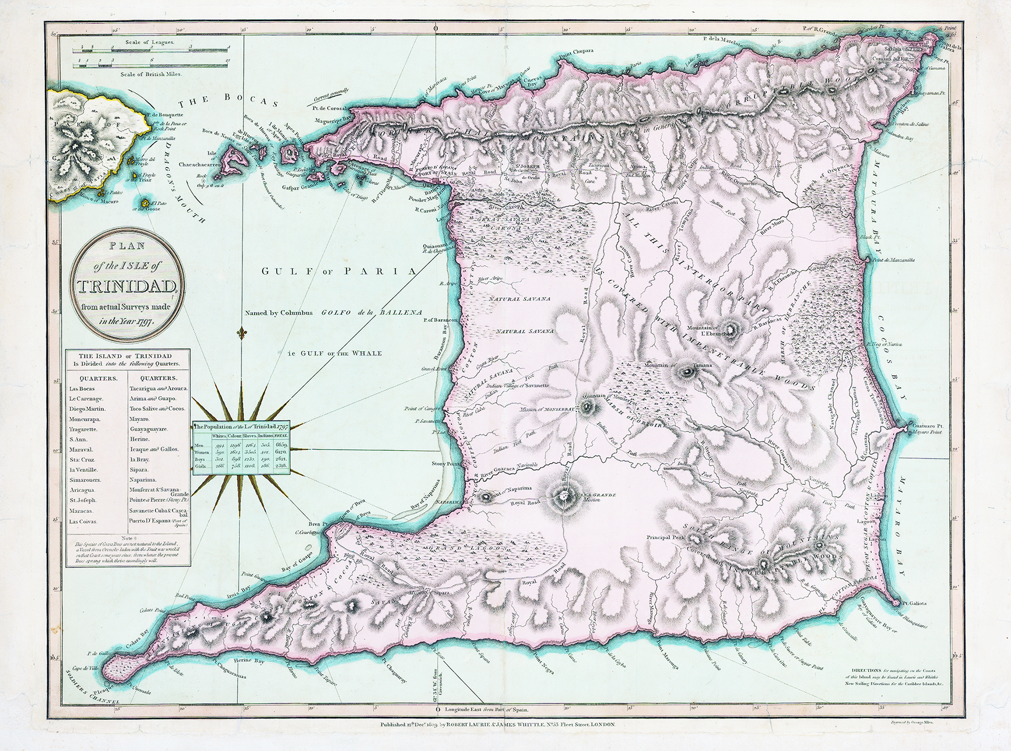
1800 "PLAN OF THE ISLE OF TRINIDAD from actual surveys made in the year 1797". A stunning map of Trinidad with a large compass rose and reference panels showing the Quarters and population statistics. Although the map was published in 1800, the survey was made in 1797, most likely as part of General Abercromby's invasion of the island during that year. Due to its wealthy economy stemming from plantations of sugar and cocoa, Trinidad was perceived as one of the most attractive targets in the West Indies for the British. The acquisition of the island as a Crown Colony was ratified in the Treaty of Amiens in 1802.
Original hand colour. Overall size approx 55 x 73cm. Condition is excellent.
£700.00