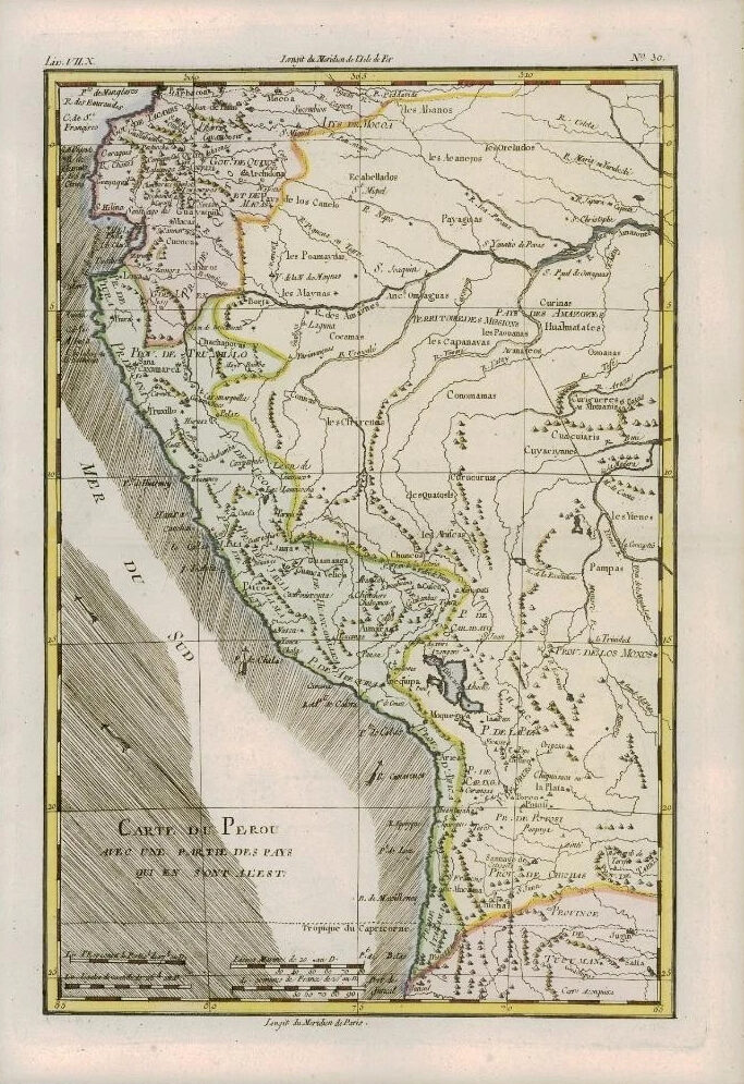
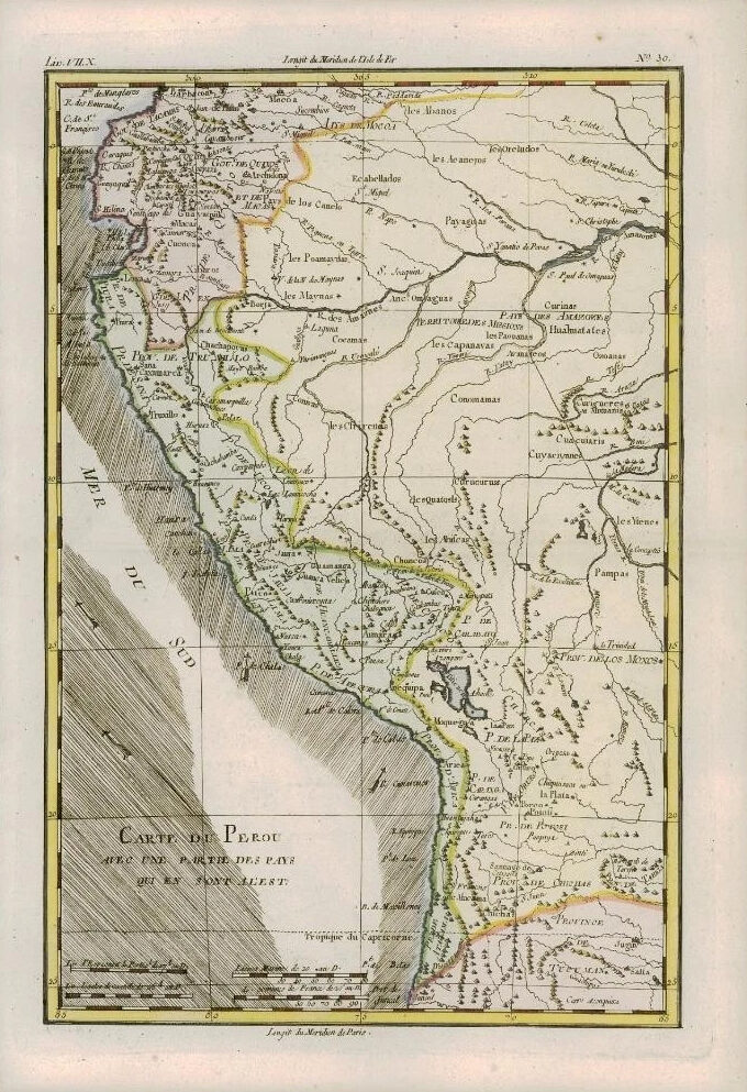
1780 - An original Antique Map by Rigobert Bonne & Guillaume Thomas Raynal titled: 'CARTE DU PEROU AVEC UNE PARTIE DES PAYS QUI EN SONG A L'EST'
A fine example of Rigobert Bonne and Guillaume Raynal's 1780 map of Peru. Covers from the Pacific well into the Amazon and as far south as the Aconcagua Desert. Shows Tradewinds in the pacific and shows mountains in profile. A number of important indigenous villages and mission stations are noted. Highly detailed, showing towns, rivers, some topographical features, important roadways and political boundaries.
Overall size of map is 37cm x 25cm with large margins, perfect for mounting and framing.
CONDITION: Excellent overall condition with hand colouring and the usual centrefold, as issued. Blank on verso.
PROVENANCE: Drawn by R.Bonne for G.Raynal's "ATLAS DE TOUTES LES PARTIES CONNUES DU GLOBE TERRESTRE, DRESSE POUR l'HISTOIRE PHILOSOPHIQUE ET POLITIQUE DES ETABLISSEMENTS ET DU COMMERCE DES EUROPEENS DANS LES DEUX INDES"
£65.00