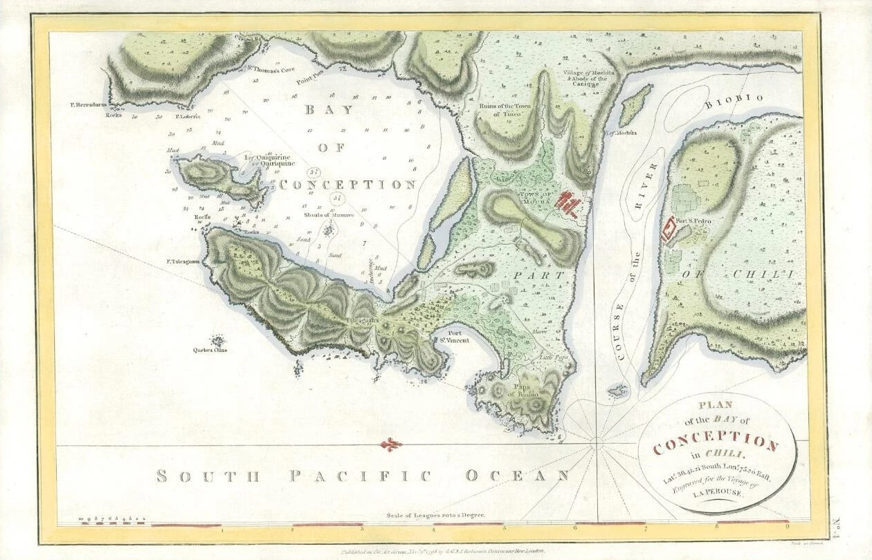
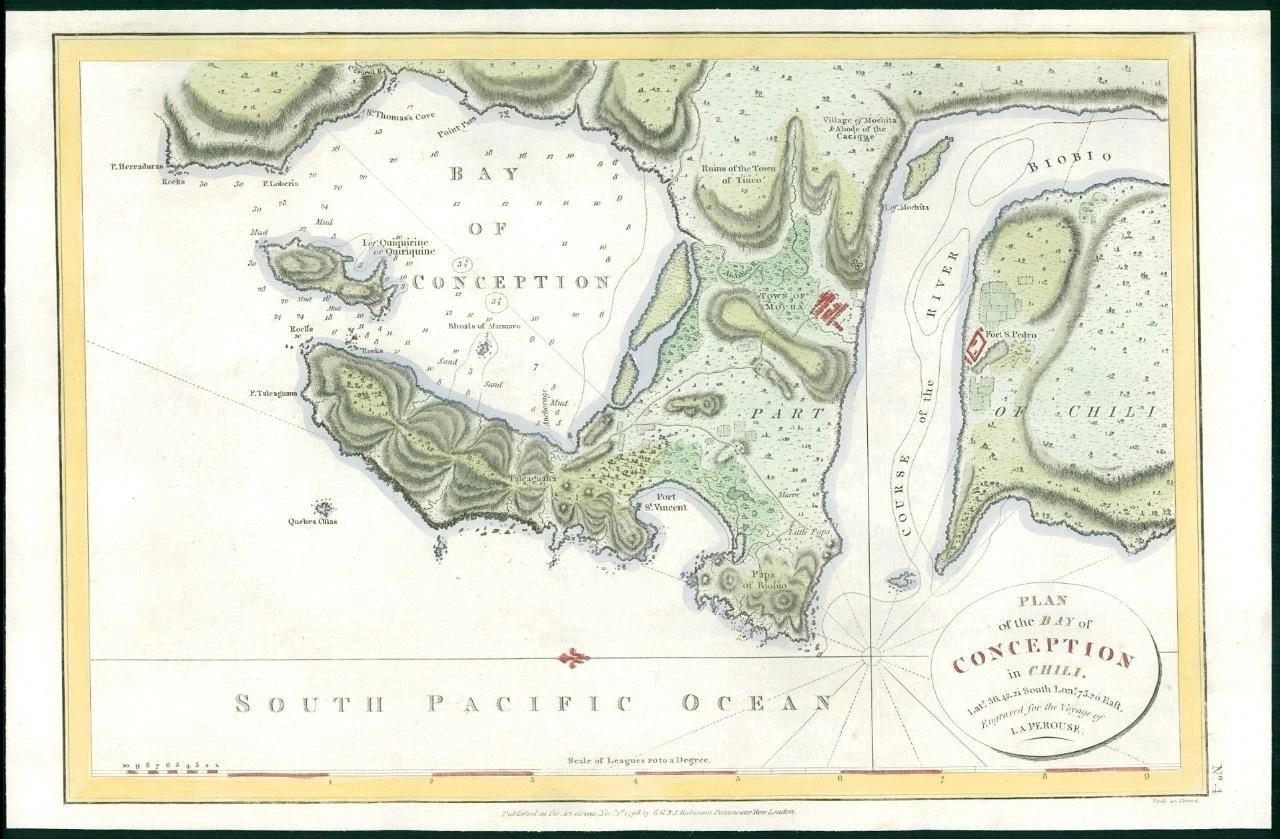
1798 - A large and rare copperplate antique engraved map titled: "PLAN OF THE BAY OF CONCEPTION IN CHILI".
This Plan (Sea Chart) shows excellent topographical and hydrological detail. Fort St Pierre, Port St, Vincent and the Biobio River are shown and many villages and soundings.
Excellent condition.
Size approximately 39cm x 25cm.
PROVENANCE: Taken from "VOYAGE ROUND THE WORLD performed in the years 1785, 1786, 1787 and 1788 by the Boussole and Astrolabe" by J.F.G. de la Perouse, published by The Order of the National Assembly.
Jean-Francois de Galaup Laperouse (1741-1788?) was a French Naval Officer and explorer. He entered the naval college in Brest when he was fifteen and in 1757 was posted to Celebre and participated in a supply expedition to the fort of Louisbourg in New France. His naval career continued and was involved in several major campaigns and was promoted to the rank of Commodore when he defeated the English frigate - ARIEL in the West Indies. He was also involved in the Battle of the Saintes and made his name when he captured two English forts ont he coast of Hudson Bay.
In 1785, he was appointed by Louis XVI to lead an expedition around the world and included the likes of Chile, Hawaii, Alaska, California, East Asia, Japan, Russia, Australia and the South Pacific where it appears he met his demise. In March 1788, the expedition left New South Wales, bound for New Caledonia, Santa Cruz, the Solomons, the Louisades and the western and southern coasts of Australia. While Laperouse had reported in a letter from Port Jackson that he expected to be back in France by June 1789,, neither he nor any member of his expedition were seen again.
£198.00