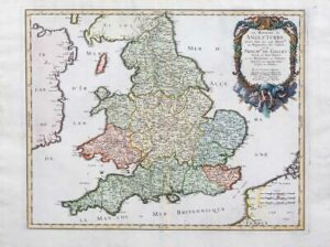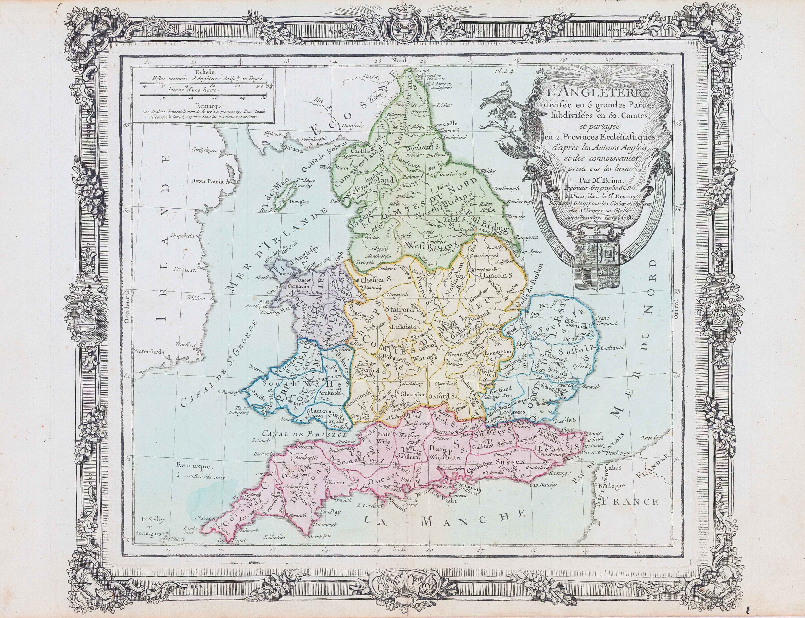
1786 "L'ANGLETERRE DIVISEE EN 5 GRANDE PARTIES, SUBDIVISEES EN 52 COMTES ET PARTAGEE EN 2 PROVINCES ECCLESIASTIQUES"
A fine antique map of England with decorative cartouche and borders, scale of miles and original hand colour wash.
Size approximately 38cm x 29cm including margins.
Central fold, as issued. Condition is excellent.
Louis Brion de la Tour (1756 - 1823 ) was a Ingenieur-Geographe du Roi. De la Tour was one of the leading cartographers, his work was produced in collaboration with Louis-Charles Desnos (fl. 1750-1790) a the Danish royal cartographer. His most important work is generally considered to be his General Atlas of 1766. Among his most important works is also noted in the "Atlas General Civil et Militaire Eclesiastique méthodique Elementaire et pour l'etude de la geographie et de l'historie".
£110.00