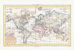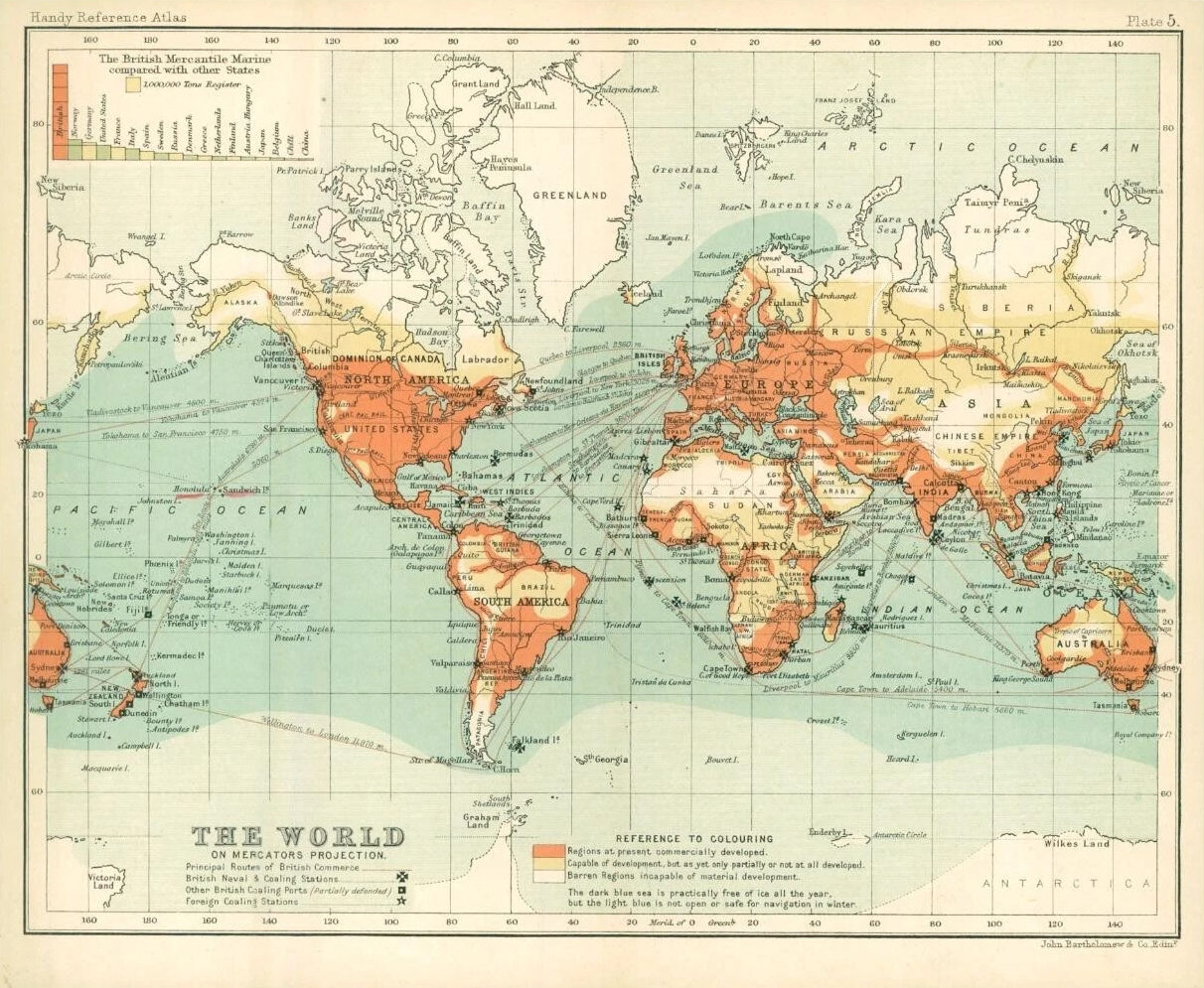
c1912 THE WORLD MAP on Mercators Projection Barren Regions Developed areas (BS5)

c1912 - An original colour small antique map taken from 'Handy Reference Atlas of the world' titled: "THE WORLD on Mercators Projection"
Overall size of this map is approximately 22cm x 18cm with central fold as issued.
Published by John Bartholomew & Co, Edinburgh.

£22.00
1 in stock

© Copyright 2024 - The Antique Paper Company - All Rights Reserved
heartshopping-cart linkedin facebook pinterest youtube rss twitter instagram facebook-blank rss-blank linkedin-blank pinterest youtube twitter instagram