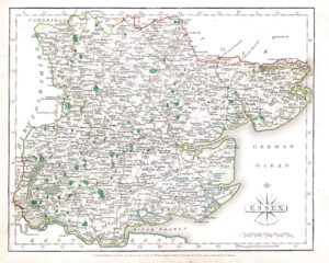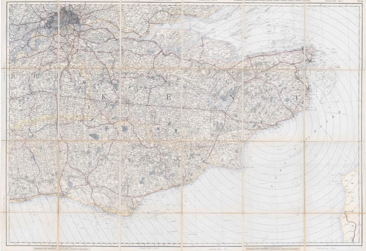
c1880 - A huge & rare folding map (Ordnance Survey?) dissected into 24 sections and laid to linen showing the areas of Kent with part of Sussex, Surrey & Essex and showing London, published by GEO RICHMOND, ASHBURY HOUSE, HALESOWEN, BIRMINGHAM. Original outline and handwash colour.
Measuring approximately 89cm x 130cm.
Condition is generally very fine. Some of the linen has split along a few of the folds and has been resecured by archival tape on the reverse side.
£425.00