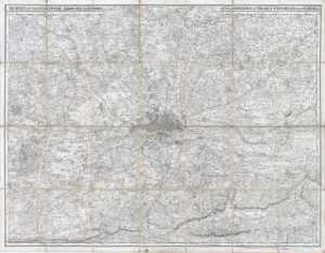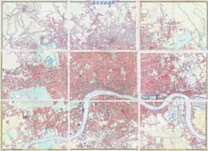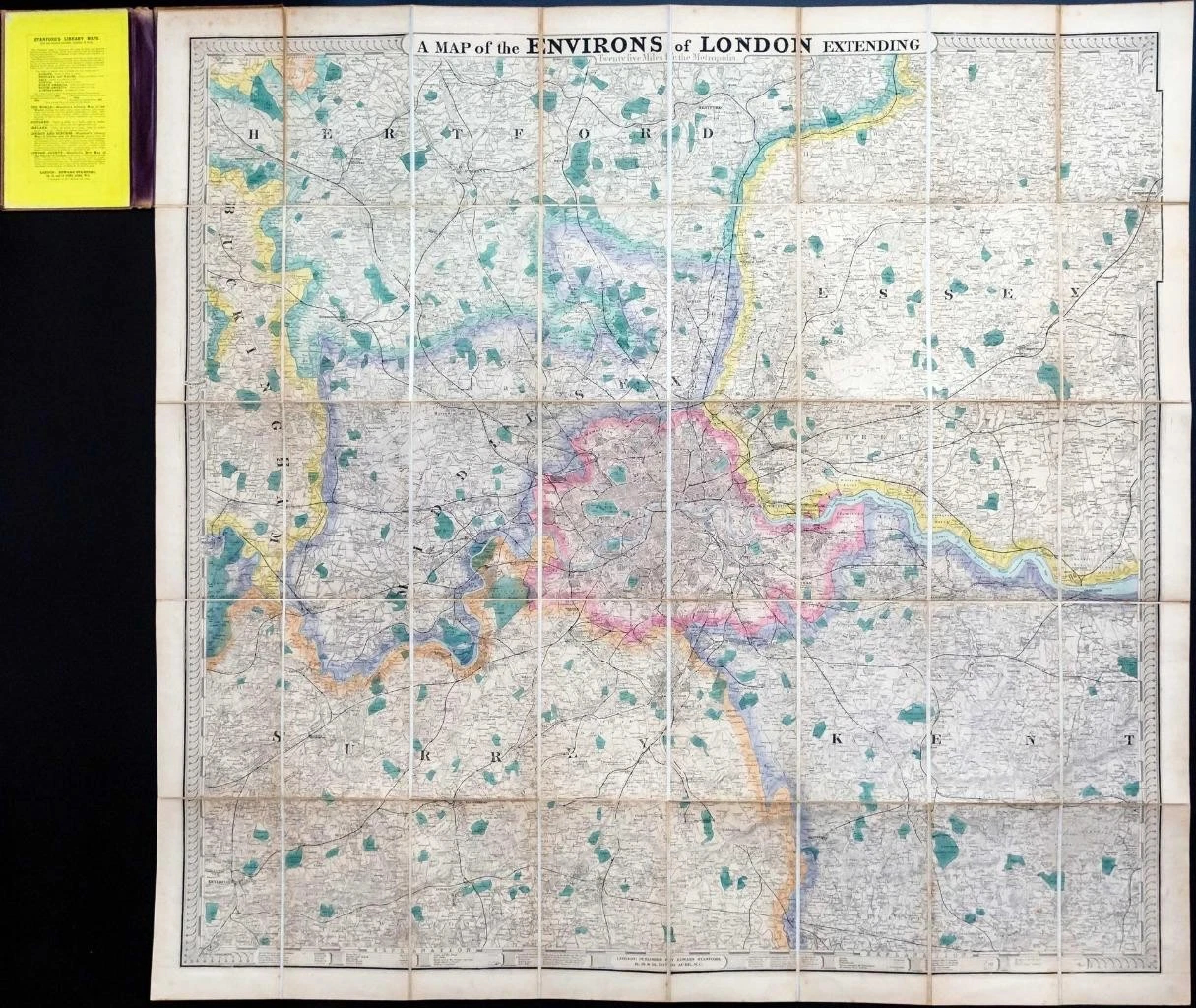
c1873 - " A Map of the Environs of London Extending 25 Miles from the Metropolitan "
Large hand-coloured folding map approximately 36 x 39 inches. Dissected and laid on to linen with printed card to exposed fold. Area covered extends from Iginghoe (Bucks) and Guildford in the West, to Waltham (Essex) and Paddock Wood in the East.
Preserved in the original embossed cloth covered boards with gilt title to upper board.
Published by Edward Stanford - no date but after 1873 and before 1886, London.
Excellent condition and with light spotting to upper board exterior & spine board missing.
£385.00