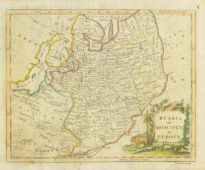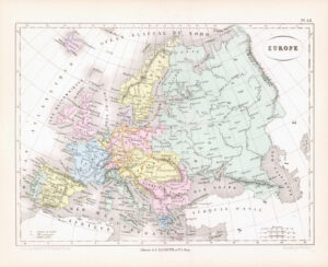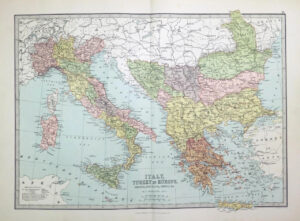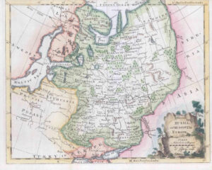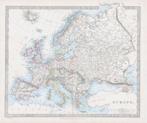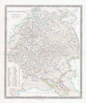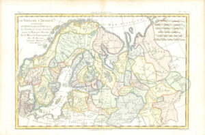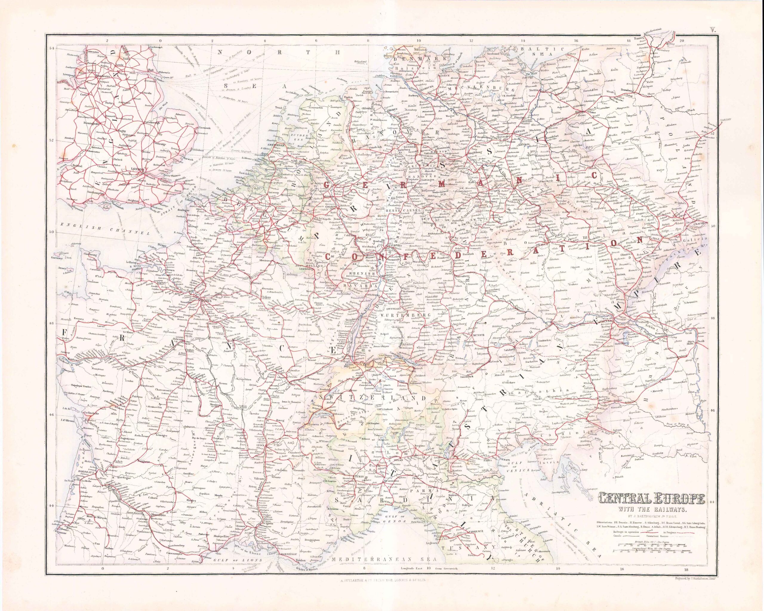
c1860s - Large original antique map titled "CENTRAL EUROPE with the RAILWAYS" with Comparative views of the Heights of the Principal Mountains and Basins of the Principal Rivers ON THE CLOBE by C.H.S.SWANSTON" & published by A Fullerton & Co. Published for "The Royal Illustrated Atlas, Of Modern Geography".
Original Colour and central fold as issued.
Measuring approximately 57.5cm x 47cm (22.6in x 18.5).
Generally very fine condition with a few light tone spots, as expected for a map of over 150 years of age.
£55.00