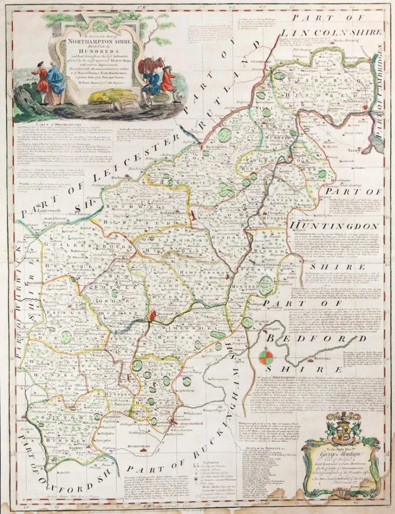
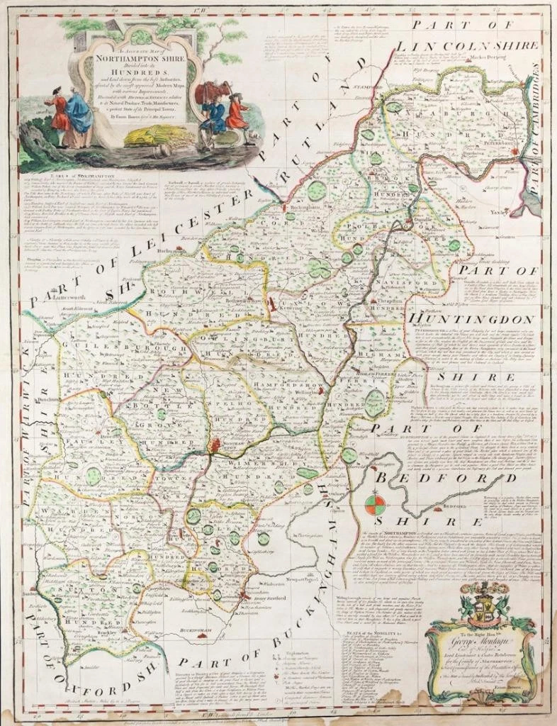
c1760 - A very large original antique print map titled: " An Accurate Map of NORTHAMPTONSHIRE divided into its HUNDREDS "
A very decorative large map of Northamptonshire by Emanuel Bowen and published by John Bowles & Robert Sayer. Decorative classical style Cartouche flanked by 'country folk', the produce of the County and sightseeing couple. Taken from Kitchin's 'Large English Atlas'.
CONDITION: Generally very good condition but with some heavy age toning along the bottom margin and on the reverse. Overall size 55cm x 72cm.
£137.50