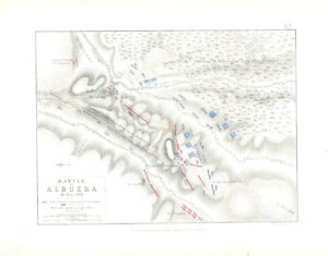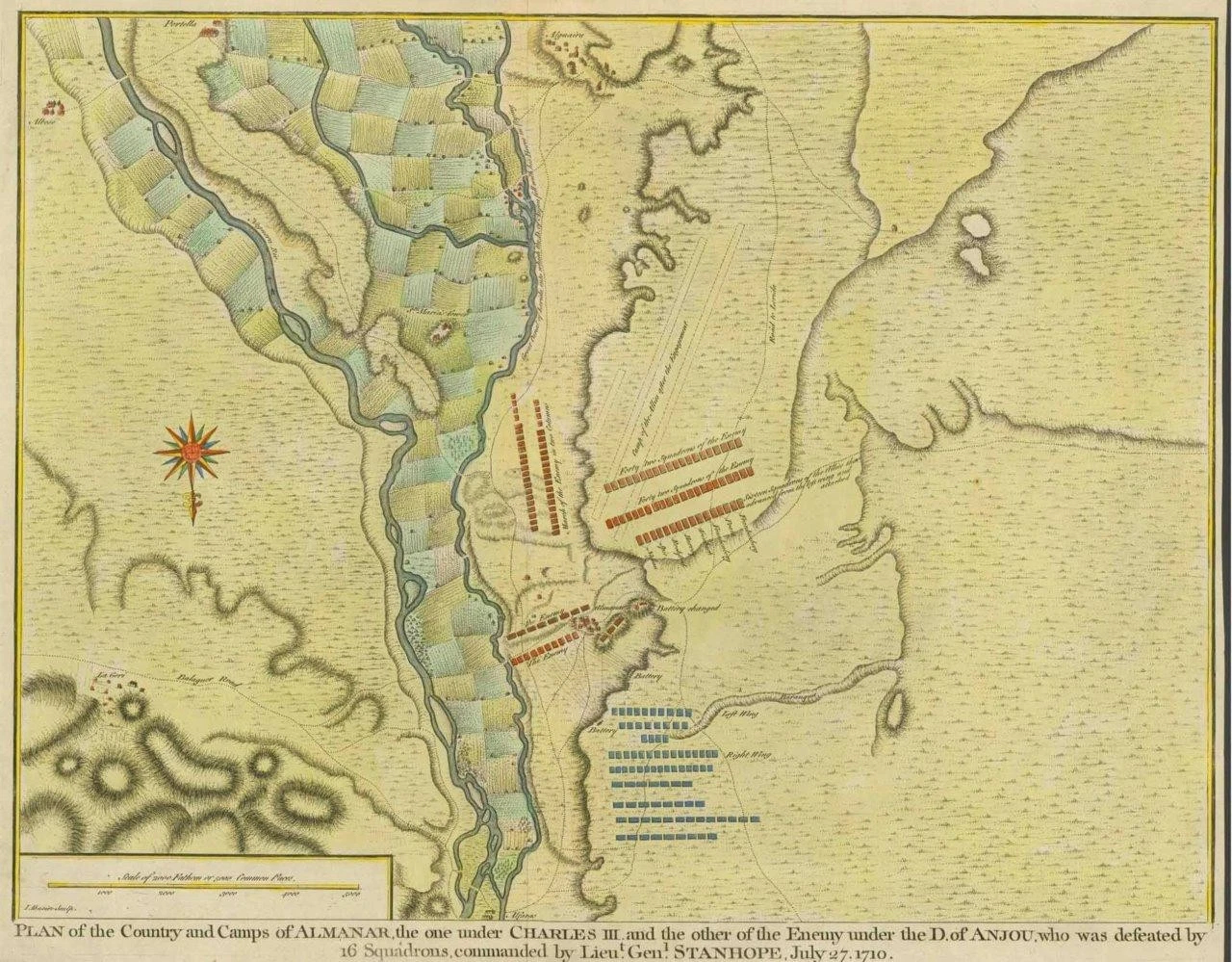
c1750 - Early original Rare Antique engraved map hand coloured and titled: "PLAN of the Country and almanar, the one uséd CHARLES III and the other of the Enemy under the D. of ANJOU, who was defeated by 16 squadrons commanded by Lieut Gen.Stanhope, July 27 1710"
This plan originates from: 'Mr. Tindal's Continuation of Mr. Rapin's 'History of Engand.', with maps by Richard William Seale and John Basire, published by Rapin & Tindal. This antique map was printed in 1727 or later. This work was a continuation of 'L'Histoire d'Angleterre' by Paul de Rapin-Thoyras, printed at the Hague in 1724. All 13 volumes of his work were translated and continued to English in the early 18th century by the Reverend Nicolas Tindal and first published in 1727. As time went on more volumes were added with more recent history.
Artists and Engravers: Authors: Nicholas Tindal (1687-1774) and Paul de Rapin-Thoyras (1661-1725), a French historian working under English patronage. Engraved by Isaac Basire (1704-68).
Overall plate size is very approximately 500mm x 410mm.
£60.50