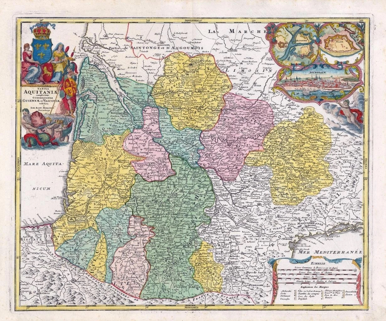
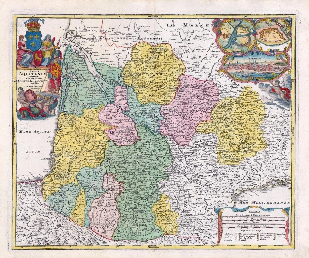
c1750 - ' TABULA AQUITANIAE complectens GUBERNATIONEM GUIENNAE et VASCONIAE exhibita a Ioh Bapt. Hommano Norimbergae '
Beautiful antique map of southwest France. Shows the former Roman province of Aquitaine from Royan with the Gironde, via Bordeaux to the Pyrenees in the south and the Mediterranean in the southeast. To the top right, a splendid city view of Bordeaux, above the fortifications of Bayonne and Blaye. Artistically executed title cartouche top left.
Approximately 64cm x 53cm including margins with central fold as issued.
Combination of original hand colour and additional later colour (cartouche).
Blank on verso. Outstanding condition.
Johann Baptist Homann (1663-1724) was a mapmaker who founded the famous Homann Heirs publishing company. He lived his entire life in Bavaria, particularly in Nuremberg. Initially, Johann trained to become a priest before converting to Protestantism and working as a notary.
In 1702, Johann founded a publishing house that specialized in engravings. The firm flourished, becoming the leading map publisher in Germany and an important entity in the European map market. In 1715, Johann was named Imperial Geographer to the Holy Roman Empire by Charles VI and made a member of the Prussian Academy of Sciences. Most importantly for his business, his reputation and contacts gained him imperial printing privileges which protected his publications and recommended him to customers. Johann is best known for this Grosser Atlas ueber die ganze Welt, or the Grand Atlas of the World, published in 1716. After Johann died in 1724, the business passed to his son, Christoph (1703-1730). Upon Christoph’s early death, the company passed to subsequent heirs, with the name of the company changing to Homann Erben, or Homann Heirs. The firm continued in business until 1848.
£340.00