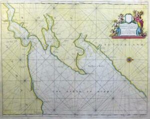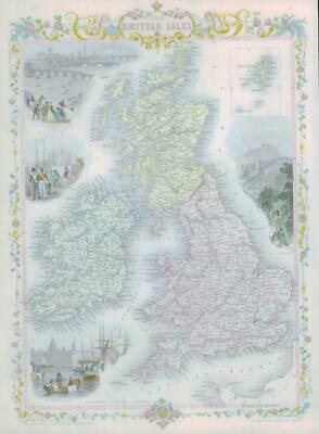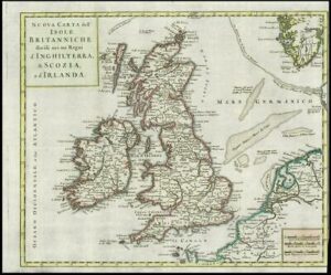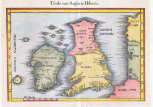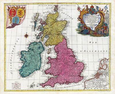
A fine & highly attractive map of the British Isles with an ornate title cartouche in the top right & the coats of arms of England, Wales and Scotland are in the left corner. The map was engraved by Mathias Albrecht Lotter for his father Tobias Lotter's atlas.
Approx 64cm x 53cm including margins with central fold as issued. Combination of original hand colour and additional later colour (cartouche). Blank on verso. Outstanding condition.
Tobias Conrad LOTTER (1717-1777) was a German engraver and publisher from Augsburg. He worked with his father-in-law, Georg Matthaeus Seutter who he succeeded him in 1756. After inheriting half the copper plates from Seutter, he set up his own publishing house in 1758. He was succeeded by his brother Andreas, his sons Matthaeus Albrecht, Georg Friedrich the elder and Gustav Conrad, and his grandsons Gabriel and Georg Friedrich the younger.
£350.00