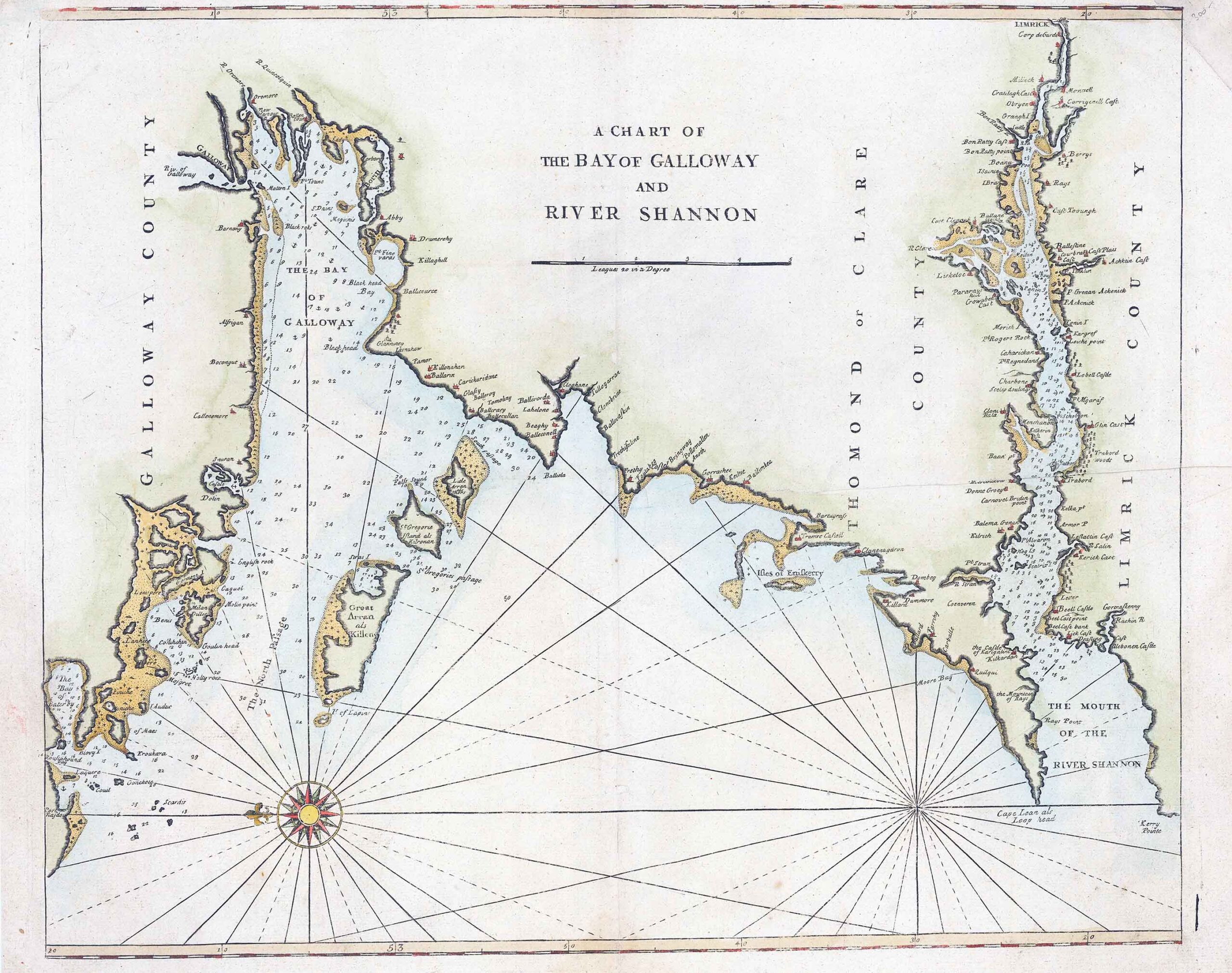
c1748 "A CHART OF THE BAY OF GALLOWAY AND RIVER SHANNON"
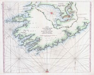
A sea chart covering the north coast of Galway Bay and the River Shannon to Limmerick, orientated with north to the right.
Engraved c. 1690, this example was published in Mount & Page's reissue of Seller's 'The English Pilot'.
Size 57cm x 45cm including margins. Condition generally fine with central fold as issued. and later hand colour.
£220.00