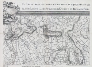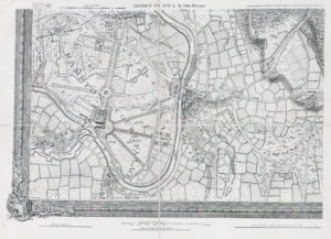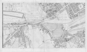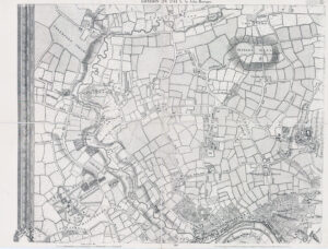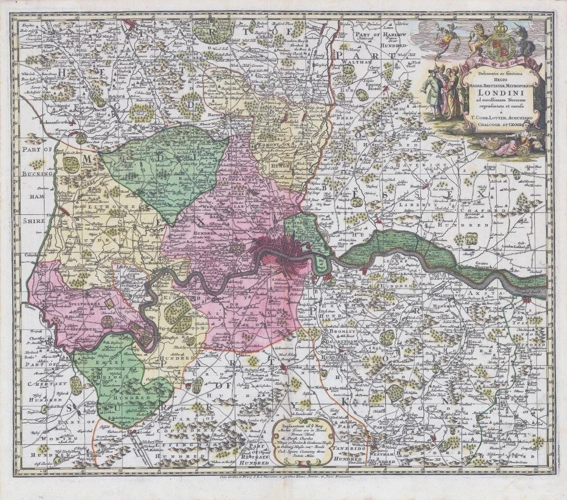
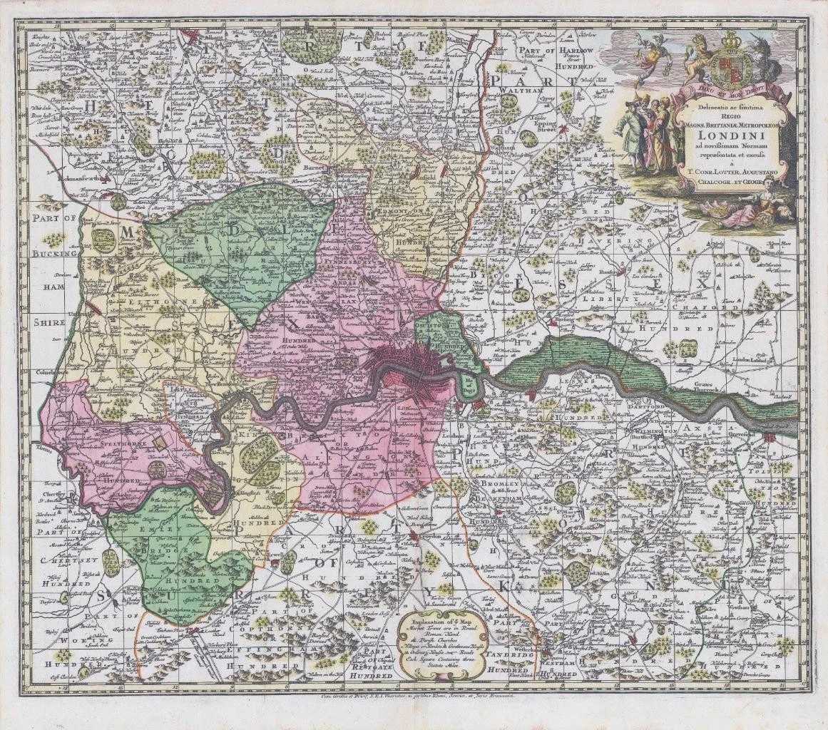
c1740 - ' Delineatio ac finitina Regio Magne Brittaniae Metropoleos Londini.... '
A map of London and its environs, reaching St Albans in the north, clockwise to Hatfield, Gravesend, Reigate, Leatherhad and Chertsey, with the roads marked. The title cartouche features a figure of Britannia with a cornucopia filled with gold coins, and a merchant dealing with figures in Asian dress, both symbolising London's wealth through trade.
Approx 60.5cm x 50.4cm including margins with central fold as issued. Early original hand colour & Blank on verso.
Outstanding condition.
Tobias Conrad Lotter (1717-1777) is one of the best-known German mapmakers of the eighteenth century. He engraved many of the maps published by Matthaus Seutter, to whose daughter Lotter was married. He took over Seutter’s business in 1756. Lotter’s son, M. A. Lotter, succeeded his father in the business.
£495.00