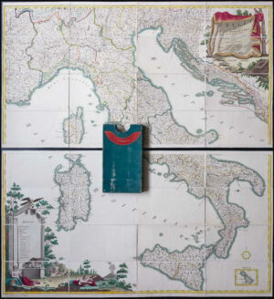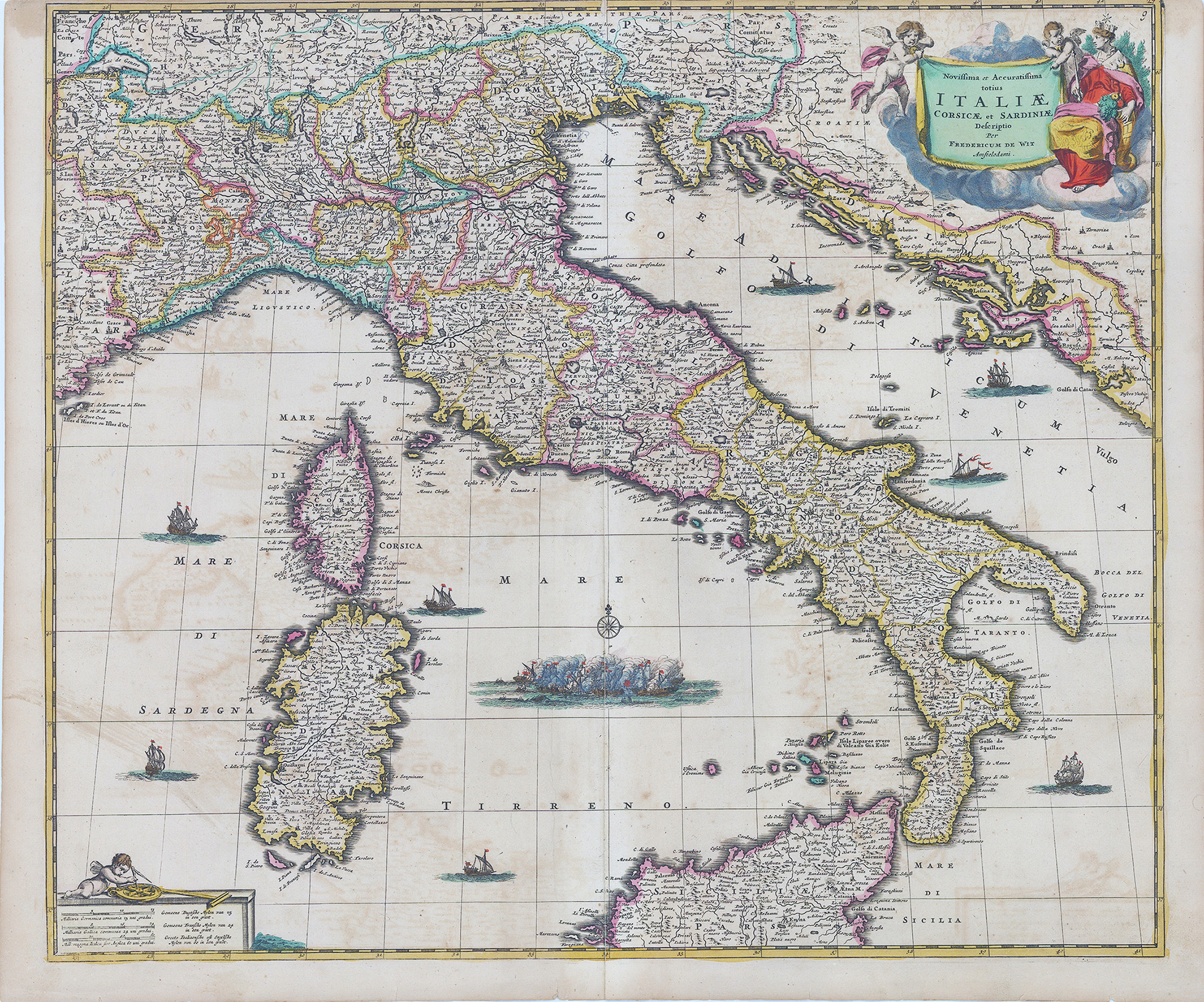
c1680 - "Novissima et Accuratissima totius Italiae Corsicae et Sardiniae Descriptio......"
This attractive map of Italy engraved c1680 by Frederik de Wit. The map covers the Italian Peninsula in its entirety including the Dalmatian coast, the time controlled by the Republic of Venice, as well as the islands of Corsica, Sardinia and part of Sicily. As with virtually every map of Italy produced in the seventheenth century, De Wit follows the model established by Magini's monumental 1608 Italia Nouva. Magini's map was justifiably influential, rendering the whole of Italy and its islands in magnificent detail with their river systems clearly presented and mountains shown pictorially.
Overall size of this map approximately 61cm x 51cm.
Condition is presentable with age toning and some offsetting.
The central fold (as issued) has some minor surface splitting and the top margin is clear to cut-in.
£535.00