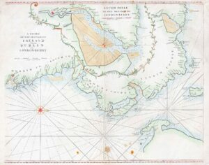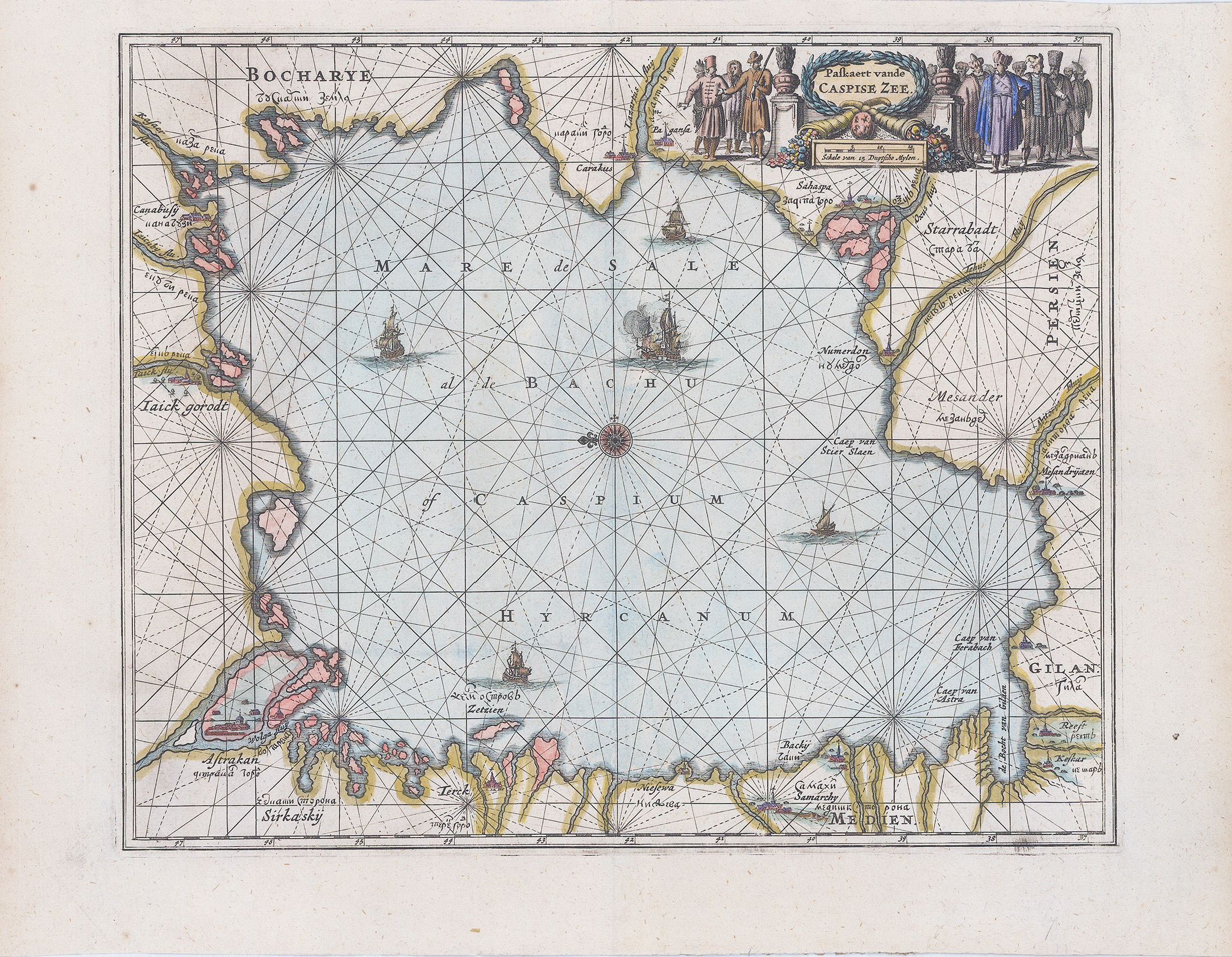
1672 - "PASKAERT VANDE CASPISE ZEE".
A fine and rare sea chart of the Caspian Sea and its surrounds by Oliver (Olfert) Dapper. This intriguing map of the Caspian Sea was published by Jacob van Meurs. The map is presented in sea chart style with rhumb lines radiating from the central compass rose, which orients the map with north to the left. The towns and cities on the coastlines are named in both Roman and Cyrillic lettering. The map is embellished with several sailing ships and a large title cartouche flanked by a large group of diverse Asian people.
Overall size approx 44cm x 34cm including margins.
Laid onto later (limp) card with fine hand colour. Condition is generally fine.
Olfert Dapper (1636-1689) was a Dutch geographer, polygot and historian. Born in Amsterdam, he attended the University of Utrecht, where he was registered as a studen in 1658. Two years later he began signing doctor medicinae, but there is no evidence that he ever received any medical training or education. Dapper published a five-volume book about the history of Amsterdam titled 'Historich Beschrijiving der Stadt Amsterdam' and in 1665 published a Dutch translation from the Greek of the HISTORIES OF HERODOTUS. His best known work, Naukeurige Beschrijivingen de Afrikaensche gewesten (Description of Africa) was published in 1668 and subsequently published in English by John Ogilby in 1670 and in French in 1686. Although Dapper never traveled to Africa, he took advantage of numerous reports from adventures in order to compile this authoritative work of the course of three years.
£275.00