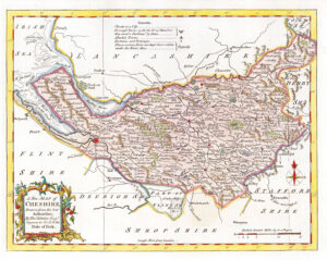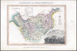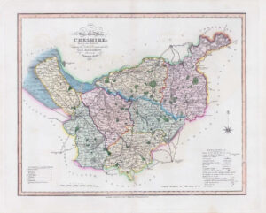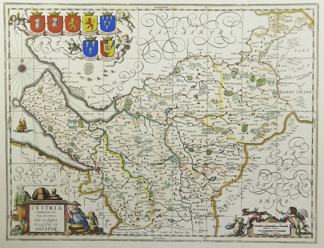


c1646 - " CESTRIA COMITATUS PALATINUS, the COUNTYE OF CHESTER "
A highly decorative and finely engraved 17th Century Map of Cheshire - with decorative Cartouche, Coats of Arms of Hugh Lupus Earle, Richard the sone of H., Ranulp Meschines, Ranulph Gernones, Hugh Ceuelios, E.S.Ranulph, Blundevil L, John Scot Earle by Jan Jansson.
The map is already mounted onto a backing board blank and measures 560 x 450mm with later hand colouring, ready for framing.
Printed and published by Jan Jansson for his Atlas Novus (Amsterdam: [Blank verso] 1646-1666). Jansson was one of the leading Dutch map makers during the period in which the Netherlands led the World in commerce, art, science and especially, cartography.
£495.00